bohrung_fels_erreicht_15200001
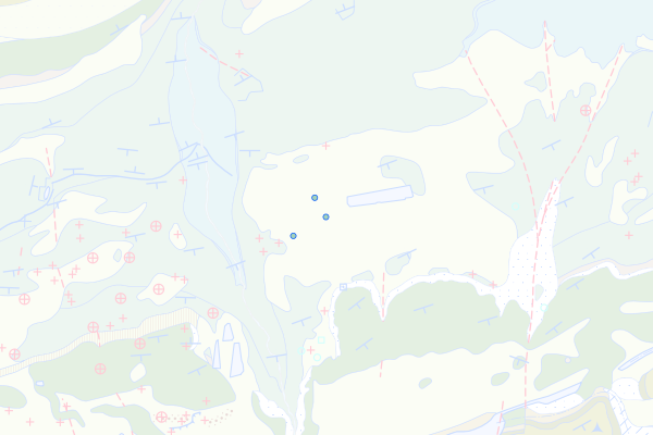
Twannbach-Formation
Feature info
| kind_desc | Bohrung |
|---|---|
| abor_depth_bedr | 7.0 |
| abor_fm_a_desc | Twannbach-Fm. |
| abor_fm_b_desc | Twannbach-Fm. |
| abor_main_tar_desc | unbekannt |
| abor_targ_mat_desc | unbekannt |
| abor_depth_tot | 9.05 |
bohrung_fels_erreicht_15200002
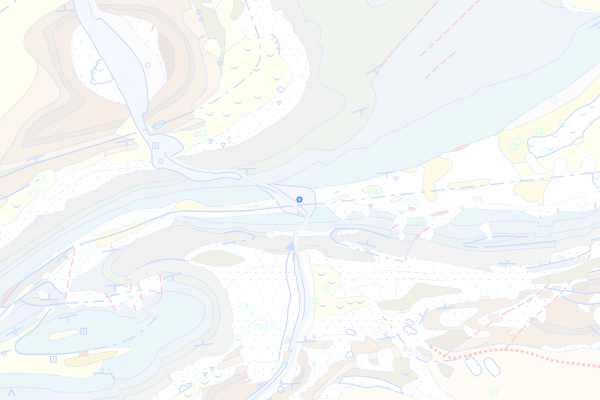
Reuchenette-Formation
Feature info
| kind_desc | Bohrung |
|---|---|
| abor_depth_bedr | 17.0 |
| abor_fm_a_desc | Reuchenette-Fm. |
| abor_fm_b_desc | unbekannt |
| abor_main_tar_desc | unbekannt |
| abor_targ_mat_desc | unbekannt |
bohrung_fels_erreicht_15200004
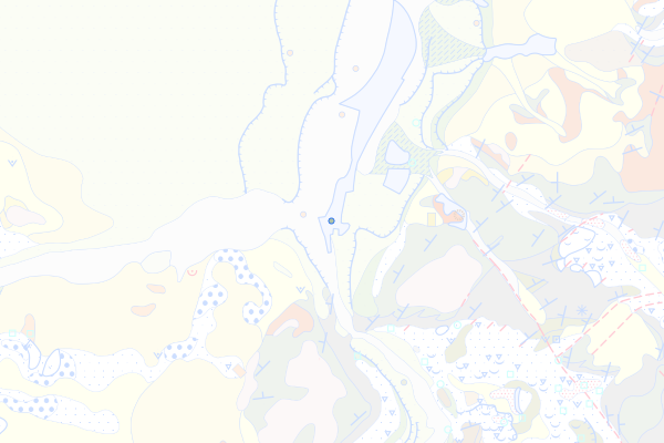
Vellerat-Formation
Feature info
| kind_desc | Bohrung |
|---|---|
| abor_depth_bedr | 888.0 |
| abor_fm_a_desc | Vellerat-Fm. |
| abor_fm_b_desc | unbekannt |
| abor_main_tar_desc | unbekannt |
| abor_targ_mat_desc | unbekannt |
bohrung_fels_erreicht_15200005
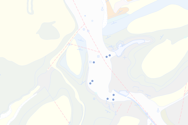
St-Ursanne-Formation
Feature info
| kind_desc | Bohrung |
|---|---|
| abor_depth_bedr | 6.0 |
| abor_fm_a_desc | St-Ursanne-Fm. |
| abor_fm_b_desc | unbekannt |
| abor_main_tar_desc | unbekannt |
| abor_targ_mat_desc | unbekannt |
bohrung_fels_erreicht_15200006
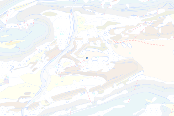
Bärschwil-Formation
Feature info
| kind_desc | Bohrung |
|---|---|
| abor_depth_bedr | 9.0 |
| abor_fm_a_desc | Bärschwil-Fm. |
| abor_fm_b_desc | unbekannt |
| abor_main_tar_desc | unbekannt |
| abor_targ_mat_desc | unbekannt |
bohrung_fels_erreicht_15200007
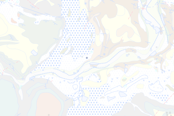
Ifenthal-Formation
Feature info
| kind_desc | Bohrung |
|---|---|
| abor_depth_bedr | 888.0 |
| abor_fm_a_desc | Ifenthal-Fm. |
| abor_fm_b_desc | unbekannt |
| abor_main_tar_desc | unbekannt |
| abor_targ_mat_desc | unbekannt |
bohrung_fels_erreicht_15200008
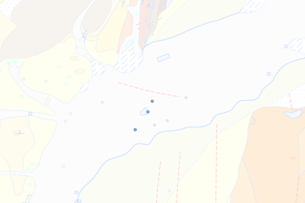
Hauptrogenstein
Feature info
| kind_desc | Bohrung |
|---|---|
| abor_depth_bedr | 888.0 |
| abor_fm_a_desc | Hauptrogenstein |
| abor_fm_b_desc | unbekannt |
| abor_main_tar_desc | unbekannt |
| abor_targ_mat_desc | unbekannt |
bohrung_fels_erreicht_15200009
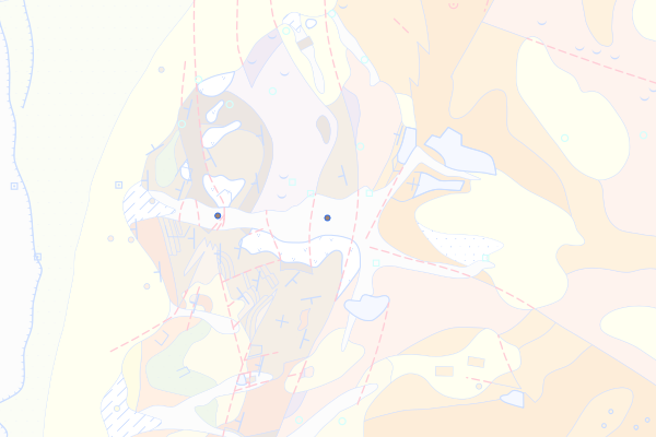
Passwang-Formation
Feature info
| kind_desc | Bohrung |
|---|---|
| abor_depth_bedr | 888.0 |
| abor_fm_a_desc | Passwang-Fm. |
| abor_fm_b_desc | unbekannt |
| abor_main_tar_desc | unbekannt |
| abor_targ_mat_desc | unbekannt |
bohrung_fels_erreicht_15200010
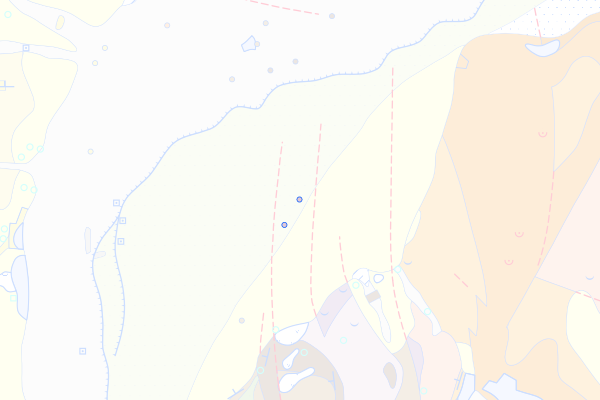
Opalinus-Ton
Feature info
| kind_desc | Bohrung |
|---|---|
| abor_depth_bedr | 888.0 |
| abor_fm_a_desc | Opalinus-Ton |
| abor_fm_b_desc | unbekannt |
| abor_main_tar_desc | unbekannt |
| abor_targ_mat_desc | unbekannt |
bohrung_fels_erreicht_15200011
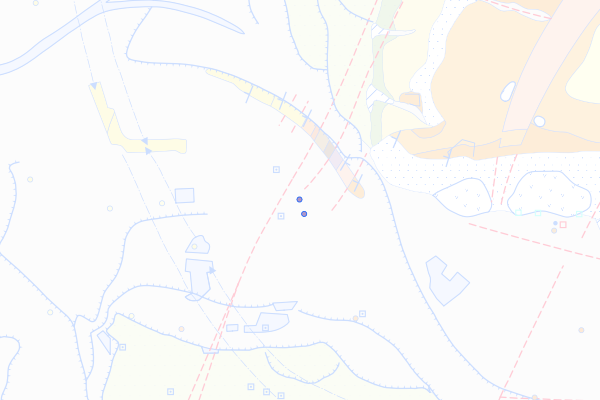
Staffelegg-Formation
Feature info
| kind_desc | Bohrung |
|---|---|
| abor_depth_bedr | 888.0 |
| abor_fm_a_desc | Staffelegg-Fm. |
| abor_fm_b_desc | unbekannt |
| abor_main_tar_desc | unbekannt |
| abor_targ_mat_desc | unbekannt |
bohrung_fels_erreicht_15200012
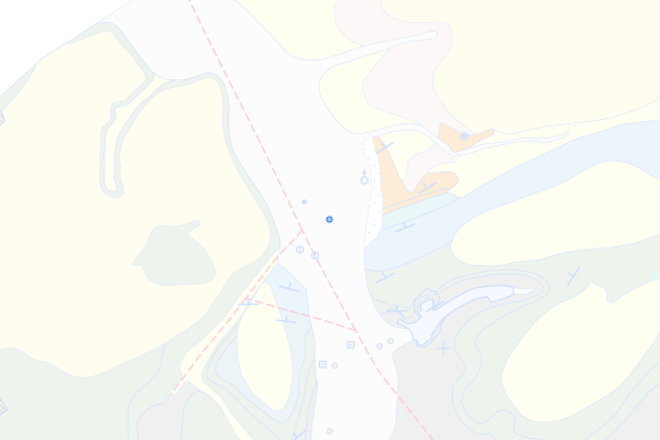
Malm des Juragebirges
Feature info
| kind_desc | Bohrung |
|---|---|
| abor_depth_bedr | 4.0 |
| abor_fm_a_desc | Juragebirge: Malm |
| abor_fm_b_desc | unbekannt |
| abor_main_tar_desc | unbekannt |
| abor_targ_mat_desc | unbekannt |
bohrung_fels_erreicht_15200013
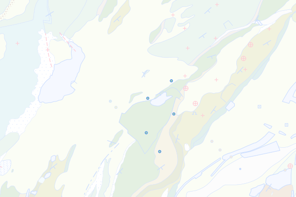
Vouglans-Member
Feature info
| kind_desc | Bohrung |
|---|---|
| abor_depth_bedr | 9.0 |
| abor_fm_a_desc | Twannbach-Fm.: Vouglans-Mb. |
| abor_fm_b_desc | unbekannt |
| abor_main_tar_desc | unbekannt |
| abor_targ_mat_desc | unbekannt |
bohrung_fels_erreicht_15200015
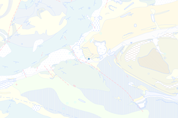
Oberer Virgula-Mergel
Feature info
| kind_desc | Bohrung |
|---|---|
| abor_depth_bedr | 888.0 |
| abor_fm_a_desc | Twannbach-Fm.: Oberer Virgula-Mergel |
bohrung_fels_erreicht_15200024
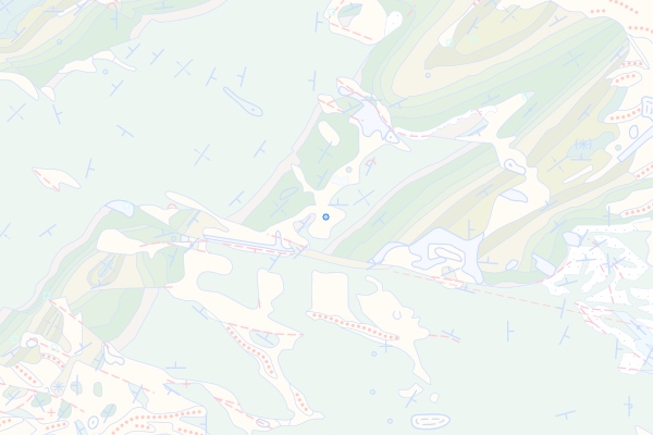
Complexe récifal
Feature info
| kind_desc | Bohrung |
|---|---|
| abor_depth_bedr | 3.0 |
| abor_fm_a_desc | Etiollets-Fm.: Complexe récifal |
| abor_fm_b_desc | unbekannt |
| abor_main_tar_desc | unbekannt |
| abor_targ_mat_desc | unbekannt |
bohrung_fels_erreicht_15200031
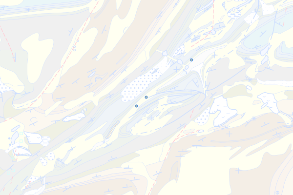
Röschenz-Member
Feature info
| kind_desc | Bohrung |
|---|---|
| abor_depth_bedr | 5.0 |
| abor_fm_a_desc | Vellerat-Fm.: Röschenz-Mb. |
bohrung_fels_erreicht_15200039
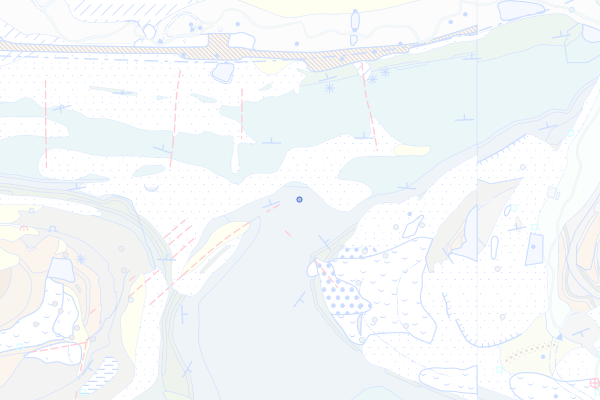
Pichoux-Formation
Feature info
| kind_desc | Bohrung |
|---|---|
| abor_depth_bedr | 888.0 |
| abor_fm_a_desc | Pichoux-Fm. |
| abor_depth_tot | 363.0 |
bohrung_fels_erreicht_15200041
Sornetan-Member
Feature info
| kind_desc | Bohrung |
|---|---|
| abor_depth_bedr | 888.0 |
| abor_fm_a_desc | Bärschwil-Fm.: Sornetan-Mb. |
bohrung_fels_erreicht_15200046
Bollement-Member
Feature info
| kind_desc | Bohrung |
|---|---|
| abor_depth_bedr | 5.0 |
| abor_fm_a_desc | Ifenthal-Fm.: Bollement-Mb. |
| abor_fm_b_desc | Ifenthal-Fm.: Bollement-Mb. |
| abor_main_tar_desc | unbekannt |
| abor_targ_mat_desc | unbekannt |
| abor_depth_tot | 12.4 |
bohrung_fels_erreicht_15200062
Untere Oolithische Serie (Oolithe Subcompacte)
Feature info
| kind_desc | Bohrung |
|---|---|
| abor_depth_bedr | 888.0 |
| abor_fm_a_desc | Hauptrogenstein: Oolithe Subcompacte |
| abor_depth_tot | 60.0 |
bohrung_fels_erreicht_15200071
Gross-Wolf-Member
Feature info
| kind_desc | Bohrung |
|---|---|
| abor_depth_bedr | 888.0 |
| abor_fm_a_desc | Staffelegg-Fm.: Gross-Wolf-Mb. |
| abor_main_tar_desc | Hydrogeologie |
bohrung_fels_erreicht_15200091
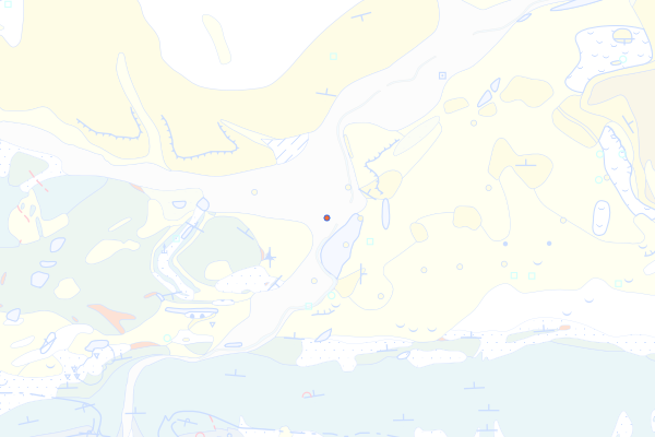
Siderolithikum des Juragebirges
Feature info
| kind_desc | Bohrung |
|---|---|
| abor_depth_bedr | 13.0 |
| abor_fm_a_desc | Juragebirge: Siderolithikum |
| abor_fm_b_desc | unbekannt |
| abor_main_tar_desc | unbekannt |
| abor_targ_mat_desc | unbekannt |
bohrung_fels_erreicht_15200092
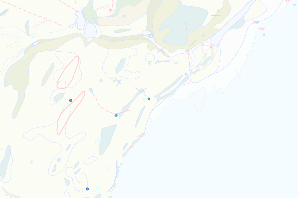
Gorges-de-l'Orbe- und Vallorbe-Formation, undifferenziert
Feature info
| kind_desc | Bohrung |
|---|---|
| abor_depth_bedr | 12.0 |
| abor_fm_a_desc | Gorges-de-l'Orbe- und Vallorbe-Mb. |
| abor_fm_b_desc | unbekannt |
| abor_main_tar_desc | unbekannt |
| abor_targ_mat_desc | unbekannt |
bohrung_fels_erreicht_15200093
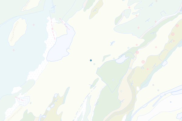
Vallorbe-Member
Feature info
| kind_desc | Bohrung |
|---|---|
| abor_depth_bedr | 67.0 |
| abor_fm_a_desc | Rocher-des-Hirondelles-Fm.: Vallorbe-Mb. |
| abor_fm_b_desc | unbekannt |
| abor_main_tar_desc | unbekannt |
| abor_targ_mat_desc | unbekannt |
bohrung_fels_erreicht_15200096
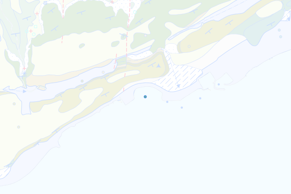
Gorges-de-l'Orbe-Formation
Feature info
| kind_desc | Bohrung |
|---|---|
| abor_depth_bedr | 3.0 |
| abor_fm_a_desc | Gorges-de-l'Orbe-Fm. |
| abor_fm_b_desc | Gorges-de-l'Orbe-Fm. |
| abor_main_tar_desc | unbekannt |
| abor_targ_mat_desc | unbekannt |
| abor_depth_tot | 8.1 |
bohrung_fels_erreicht_15200097
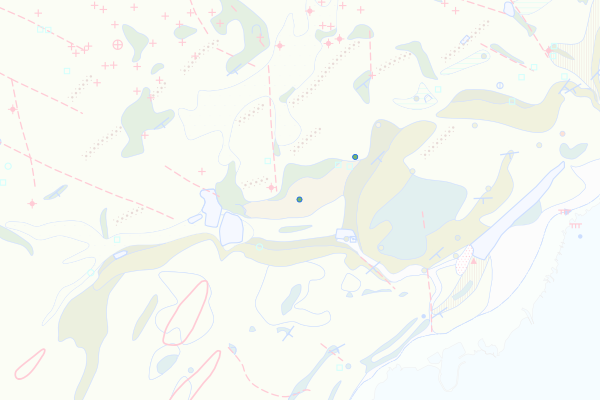
Pierre-Châtel-, Vions- und Chambotte-Formation, undifferenziert
Feature info
| kind_desc | Bohrung |
|---|---|
| abor_depth_bedr | 5.0 |
| abor_fm_a_desc | Pierre-Châtel- Vions- und Chambotte-Fm. |
| abor_fm_b_desc | unbekannt |
| abor_main_tar_desc | unbekannt |
| abor_targ_mat_desc | unbekannt |
bohrung_fels_erreicht_15200102
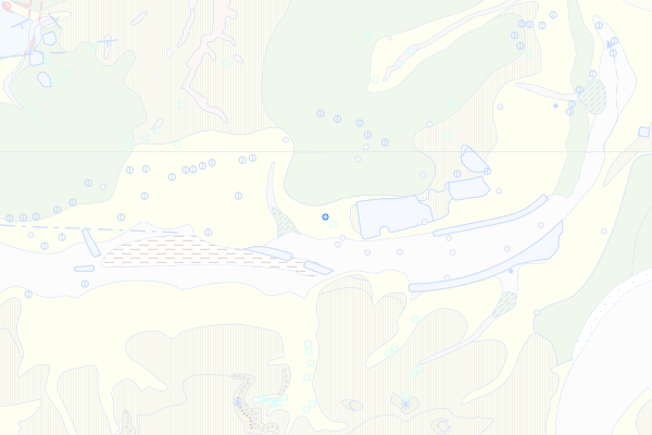
Burghorn-Formation
Feature info
| kind_desc | Bohrung |
|---|---|
| abor_depth_bedr | 177.0 |
| abor_fm_a_desc | Burghorn-Fm. |
bohrung_fels_erreicht_15200103
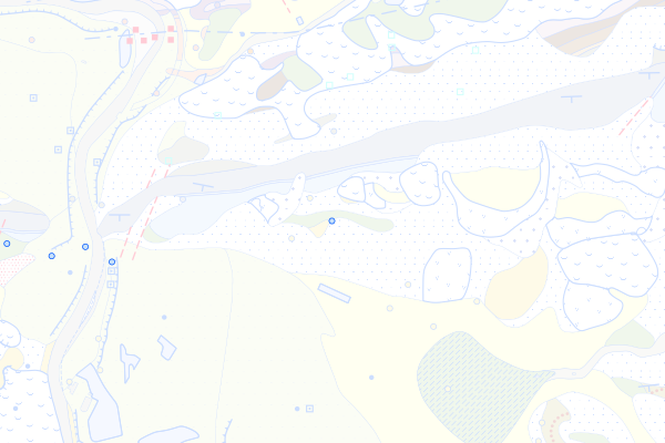
Wettigen-Member
Feature info
| kind_desc | Bohrung |
|---|---|
| abor_depth_bedr | 17.0 |
| abor_fm_a_desc | Burghorn-Fm.: Wettingen-Mb. |
bohrung_fels_erreicht_15200105
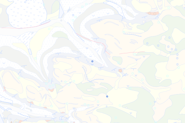
Villigen-Formation
Feature info
| kind_desc | Bohrung |
|---|---|
| abor_depth_bedr | 0.0 |
| abor_fm_a_desc | Villigen-Fm. |
| abor_fm_b_desc | unbekannt |
| abor_main_tar_desc | unbekannt |
| abor_targ_mat_desc | unbekannt |
bohrung_fels_erreicht_15200113
Geissberg-Member
Feature info
| kind_desc | Bohrung |
|---|---|
| abor_depth_bedr | 8.0 |
| abor_fm_a_desc | Villigen-Fm.: Geissberg-Mb. |
bohrung_fels_erreicht_15200115
Effingen-Member
Feature info
| kind_desc | Bohrung |
|---|---|
| abor_depth_bedr | 13.0 |
| abor_fm_a_desc | Wildegg-Fm.: Effingen-Mb. |
| abor_fm_b_desc | Wildegg-Fm.: Effingen-Mb. |
| abor_main_tar_desc | unbekannt |
| abor_targ_mat_desc | unbekannt |
| abor_depth_tot | 20.5 |
bohrung_fels_erreicht_15200117
Birmenstorf-Member
Feature info
| kind_desc | Bohrung |
|---|---|
| abor_depth_bedr | 5.0 |
| abor_fm_a_desc | Wildegg-Fm.: Birmenstorf-Mb. |
| abor_fm_b_desc | unbekannt |
| abor_main_tar_desc | unbekannt |
| abor_targ_mat_desc | unbekannt |
bohrung_fels_erreicht_15200118
Günsberg-Formation
Feature info
| kind_desc | Bohrung |
|---|---|
| abor_depth_bedr | 888.0 |
| abor_fm_a_desc | Günsberg-Fm. |
| abor_depth_tot | 20.0 |
bohrung_fels_erreicht_15200120
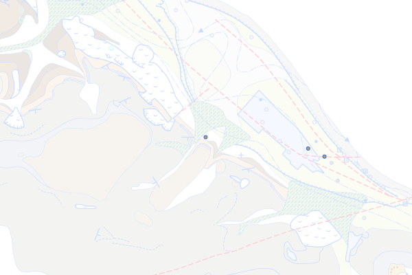
Klingnau-Formation
Feature info
| kind_desc | Bohrung |
|---|---|
| abor_depth_bedr | 888.0 |
| abor_fm_a_desc | Klingnau-Fm. |
bohrung_fels_erreicht_15200125
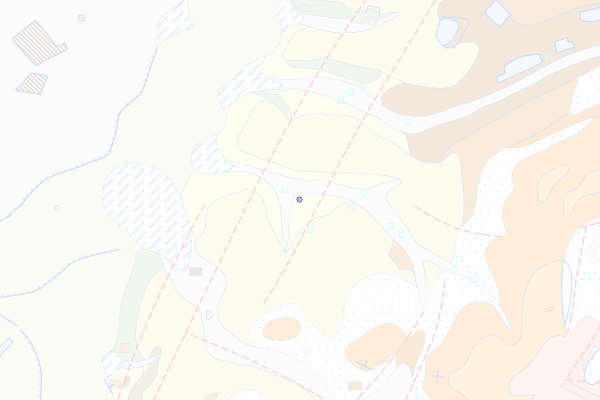
Keuper
Feature info
| kind_desc | Bohrung |
|---|---|
| abor_depth_bedr | 888.0 |
| abor_fm_a_desc | Juragebirge: Keuper |
| abor_fm_b_desc | unbekannt |
| abor_main_tar_desc | unbekannt |
| abor_targ_mat_desc | unbekannt |
bohrung_fels_erreicht_15200126
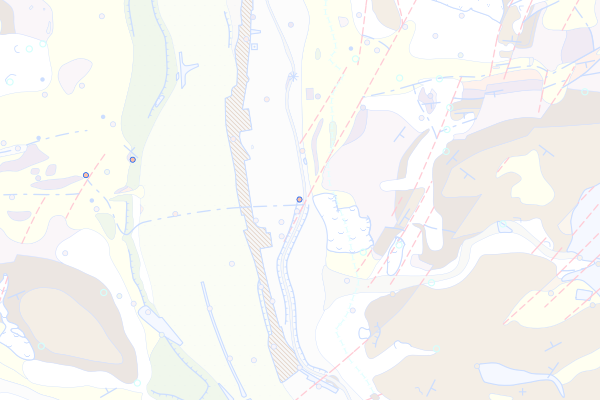
Klettgau-Formation
Feature info
| kind_desc | Bohrung |
|---|---|
| abor_depth_bedr | 12.0 |
| abor_fm_a_desc | Klettgau-Fm. |
bohrung_fels_erreicht_15200128
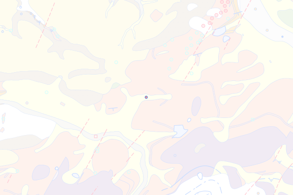
Bänkerjoch-Formation
Feature info
| kind_desc | Bohrung |
|---|---|
| abor_depth_bedr | 17.0 |
| abor_fm_a_desc | Bänkerjoch-Fm. |
bohrung_fels_erreicht_15200130
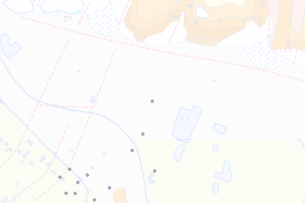
Schinznach-Formation
Feature info
| kind_desc | Bohrung |
|---|---|
| abor_depth_bedr | 888.0 |
| abor_fm_a_desc | Schinznach-Fm. |
| abor_fm_b_desc | unbekannt |
| abor_main_tar_desc | unbekannt |
| abor_targ_mat_desc | unbekannt |
bohrung_fels_erreicht_15200131
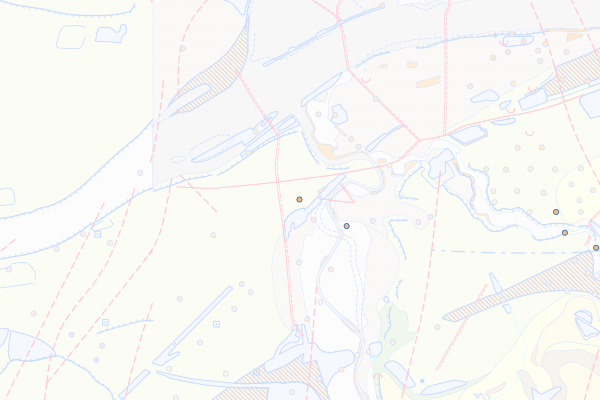
Asp-Member
Feature info
| kind_desc | Bohrung |
|---|---|
| abor_depth_bedr | 12.0 |
| abor_fm_a_desc | Schinznach-Fm.: Asp-Mb. |
bohrung_fels_erreicht_15200132
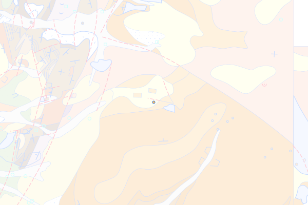
Stamberg-Member
Feature info
| kind_desc | Bohrung |
|---|---|
| abor_depth_bedr | 888.0 |
| abor_fm_a_desc | Schinznach-Fm.: Stamberg-Mb. |
| abor_fm_b_desc | unbekannt |
| abor_main_tar_desc | unbekannt |
| abor_targ_mat_desc | unbekannt |
bohrung_fels_erreicht_15200135
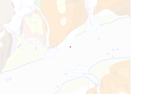
Zeglingen-Formation
Feature info
| kind_desc | Bohrung |
|---|---|
| abor_depth_bedr | 888.0 |
| abor_fm_a_desc | Zeglingen-Fm. |
| abor_fm_b_desc | unbekannt |
| abor_main_tar_desc | unbekannt |
| abor_targ_mat_desc | unbekannt |
bohrung_fels_erreicht_15200139
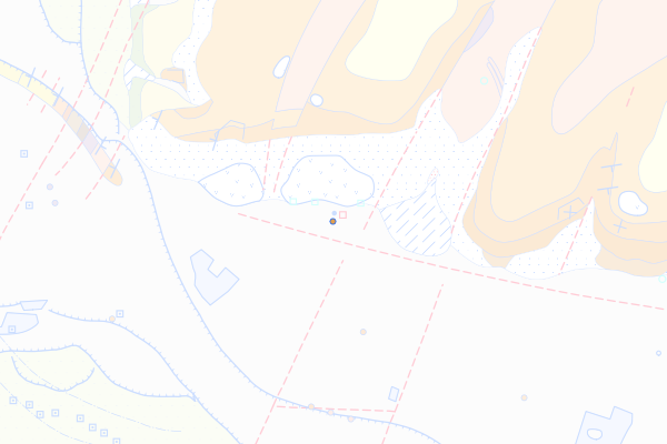
Kaiseraugst-Formation
Feature info
| kind_desc | Bohrung |
|---|---|
| abor_depth_bedr | 888.0 |
| abor_fm_a_desc | Kaiseraugst-Fm. |
| abor_fm_b_desc | unbekannt |
| abor_main_tar_desc | unbekannt |
| abor_targ_mat_desc | unbekannt |
bohrung_fels_erreicht_15200144
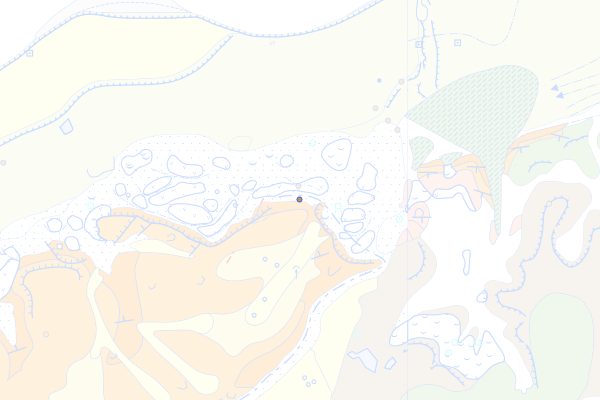
Dinkelberg-Formation
Feature info
| kind_desc | Bohrung |
|---|---|
| abor_depth_bedr | 888.0 |
| abor_fm_a_desc | Dinkelberg-Fm. |
| abor_fm_b_desc | unbekannt |
| abor_main_tar_desc | unbekannt |
| abor_targ_mat_desc | unbekannt |
bohrung_fels_erreicht_15200148
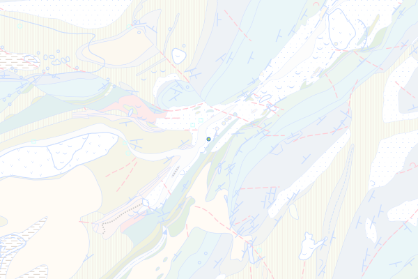
Narlay-Formation
Feature info
| kind_desc | Bohrung |
|---|---|
| abor_depth_bedr | 888.0 |
| abor_fm_a_desc | Narlay-Fm. |
| abor_fm_b_desc | unbekannt |
| abor_main_tar_desc | unbekannt |
| abor_targ_mat_desc | unbekannt |
| abor_depth_tot | 13.0 |
bohrung_fels_erreicht_15200149
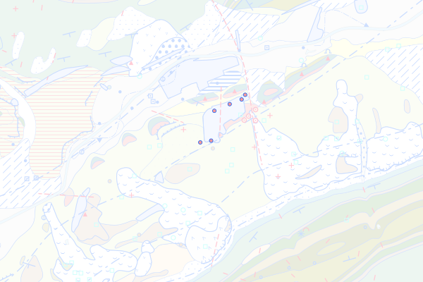
Perte-du-Rhône-Formation
Feature info
| kind_desc | Bohrung |
|---|---|
| abor_depth_bedr | 4.0 |
| abor_fm_a_desc | Perte-du-Rhône-Fm. |
| abor_fm_b_desc | unbekannt |
| abor_main_tar_desc | unbekannt |
| abor_targ_mat_desc | unbekannt |
bohrung_fels_erreicht_15200150
Grand-Essert-Formation
Feature info
| kind_desc | Bohrung |
|---|---|
| abor_depth_bedr | 6.0 |
| abor_fm_a_desc | USM (Untere Süsswassermolasse) |
bohrung_fels_erreicht_15200151
Pierre Jaune de Neuchâtel
Feature info
| kind_desc | Bohrung |
|---|---|
| abor_depth_bedr | 20.0 |
| abor_fm_a_desc | Grand-Essert-Fm: Neuchâtel-Mb. |
| abor_fm_b_desc | unbekannt |
| abor_main_tar_desc | unbekannt |
| abor_targ_mat_desc | unbekannt |
bohrung_fels_erreicht_15200152
Hauterive-Mergel
Feature info
| kind_desc | Bohrung |
|---|---|
| abor_depth_bedr | 0.0 |
| abor_fm_a_desc | Grand-Essert-Fm: Hauterive-Mb. |
| abor_fm_b_desc | Goldberg-Fm. |
| abor_main_tar_desc | unbekannt |
| abor_targ_mat_desc | unbekannt |
| abor_depth_tot | 56.25 |
bohrung_fels_erreicht_15200153
Vuache-Formation
Feature info
| kind_desc | Bohrung |
|---|---|
| abor_depth_bedr | 888.0 |
| abor_fm_a_desc | Vuache-Fm. |
| abor_fm_b_desc | unbekannt |
| abor_main_tar_desc | unbekannt |
| abor_targ_mat_desc | unbekannt |
| abor_depth_tot | 24.0 |
bohrung_fels_erreicht_15200156
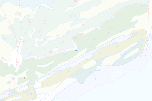
Goldberg-Formation
Feature info
| kind_desc | Bohrung |
|---|---|
| abor_depth_bedr | 0.0 |
| abor_fm_a_desc | Goldberg-Fm. |
| abor_fm_b_desc | Goldberg-Fm. |
| abor_main_tar_desc | unbekannt |
| abor_targ_mat_desc | unbekannt |
| abor_depth_tot | 90.15 |
bohrung_fels_erreicht_15200158
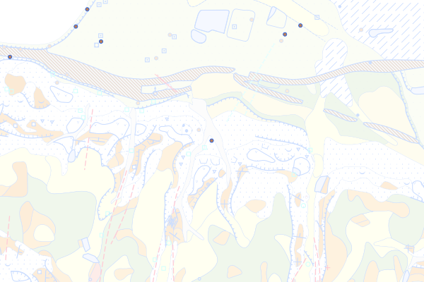
Weitenau-Formation
Feature info
| kind_desc | Bohrung |
|---|---|
| abor_depth_bedr | 888.0 |
| abor_fm_a_desc | Weitenau-Fm. |
| abor_fm_b_desc | unbekannt |
| abor_main_tar_desc | unbekannt |
| abor_targ_mat_desc | unbekannt |
bohrung_fels_erreicht_15200160
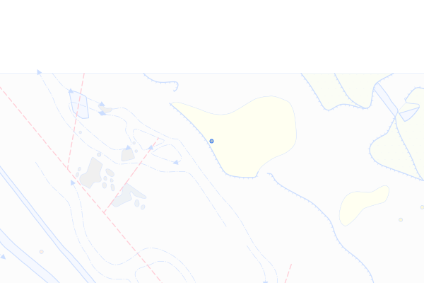
Günsberg-, Vellerat-, Villigen-, Balsthal- und Courgenay-Formation, undifferenziert
Feature info
| kind_desc | Bohrung |
|---|---|
| abor_depth_bedr | 888.0 |
| abor_fm_a_desc | Günsberg- Vellerat- Villigen- Balsthal- und Courgenay-Fm. |
| abor_fm_b_desc | unbekannt |
| abor_main_tar_desc | unbekannt |
| abor_targ_mat_desc | unbekannt |
bohrung_fels_erreicht_15200161
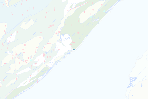
Kreide des Juragebirges
Feature info
| kind_desc | Bohrung |
|---|---|
| abor_depth_bedr | 8.0 |
| abor_fm_a_desc | Juragebirge: Kreide |
bohrung_fels_erreicht_15200162
Jura des Juragebirges
Feature info
| kind_desc | Bohrung |
|---|---|
| abor_depth_bedr | 6.0 |
| abor_fm_a_desc | Juragebirge: Jura |
| abor_fm_b_desc | USM-J |
bohrung_fels_erreicht_15200186
Zuckerkörniger Kalk
Feature info
| kind_desc | Bohrung |
|---|---|
| abor_depth_bedr | 4.0 |
| abor_fm_a_desc | Twannbach-Fm.: Zuckerkörniger Kalk |
bohrung_fels_erreicht_15200188
Balsthal-Formation
Feature info
| kind_desc | Bohrung |
|---|---|
| abor_depth_bedr | 18.0 |
| abor_fm_a_desc | Balsthal-Fm. |
bohrung_fels_erreicht_15200198
Furcil-Mergel
Feature info
| kind_desc | Bohrung |
|---|---|
| abor_depth_bedr | 9.0 |
| abor_fm_a_desc | Hauptrogenstein: Furcil-Mergel |
| abor_fm_b_desc | unbekannt |
| abor_main_tar_desc | unbekannt |
| abor_targ_mat_desc | unbekannt |
bohrung_fels_erreicht_15200207
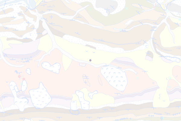
Gruhalde-Member
Feature info
| kind_desc | Bohrung |
|---|---|
| abor_depth_bedr | 15.0 |
| abor_fm_a_desc | Klettgau-Fm.: Gruhalde-Mb. |
| abor_main_tar_desc | Hydrogeologie |
| abor_targ_mat_desc | Grundwasser |
| abor_depth_tot | 50.0 |
bohrung_fels_erreicht_15200209
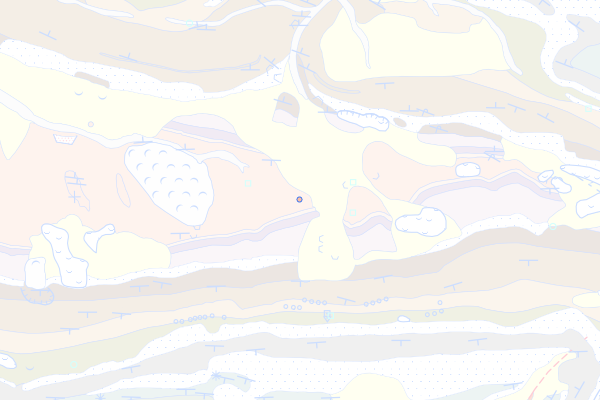
Gansingen-Member
Feature info
| kind_desc | Bohrung |
|---|---|
| abor_depth_bedr | 3.0 |
| abor_fm_a_desc | Klettgau-Fm.: Gansingen-Mb. |
| abor_main_tar_desc | Hydrogeologie |
| abor_targ_mat_desc | Grundwasser |
| abor_depth_tot | 80.0 |
bohrung_fels_erreicht_15200210
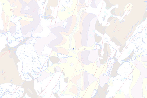
Ergolz-Member
Feature info
| kind_desc | Bohrung |
|---|---|
| abor_depth_bedr | 16.0 |
| abor_fm_a_desc | Klettgau-Fm.: Ergolz-Mb. |
bohrung_fels_erreicht_15200218
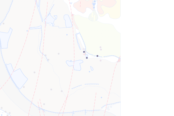
Playa-Serie
Feature info
| kind_desc | Bohrung |
|---|---|
| abor_depth_bedr | 4.0 |
| abor_fm_a_desc | Weitenau-Fm.: Playa-Serie |
| abor_fm_b_desc | Murgtal-Gneiskomplex |
bohrung_fels_erreicht_15200219
Unterer Schuttfächer
Feature info
| kind_desc | Bohrung |
|---|---|
| abor_depth_bedr | 6.0 |
| abor_fm_a_desc | Weitenau-Fm.: Unterer Schuttfächer |
| abor_fm_b_desc | Murgtal-Gneiskomplex |
bohrung_fels_erreicht_15200220
Spät- bis postvariszische Intrusiva des Schwarzwaldes
Feature info
| kind_desc | Bohrung |
|---|---|
| abor_depth_bedr | 888.0 |
| abor_fm_a_desc | Schwarzwald-Massiv: Spät- bis postvariszische Intrusiva |
| abor_fm_b_desc | unbekannt |
| abor_main_tar_desc | unbekannt |
| abor_targ_mat_desc | unbekannt |
bohrung_fels_erreicht_15200225
Säckingen-Granit
Feature info
| kind_desc | Bohrung |
|---|---|
| abor_depth_bedr | 5.0 |
| abor_fm_a_desc | Säckingen-Granit |
bohrung_fels_erreicht_15200248
Murgtal-Gneiskomplex
Feature info
| kind_desc | Bohrung |
|---|---|
| abor_depth_bedr | 888.0 |
| abor_fm_a_desc | Murgtal-Gneiskomplex |
| abor_fm_b_desc | Murgtal-Gneiskomplex |
| abor_main_tar_desc | unbekannt |
| abor_targ_mat_desc | unbekannt |
| abor_depth_tot | 1306.0 |
bohrung_fels_erreicht_15200249
Laufenburg-Gneiskomplex
Feature info
| kind_desc | Bohrung |
|---|---|
| abor_depth_bedr | 888.0 |
| abor_fm_a_desc | Laufenburg-Gneiskomplex |
| abor_fm_b_desc | unbekannt |
| abor_main_tar_desc | unbekannt |
| abor_targ_mat_desc | unbekannt |
bohrung_fels_erreicht_15200254
Molasse
Feature info
| kind_desc | Bohrung |
|---|---|
| abor_depth_bedr | 888.0 |
| abor_fm_a_desc | Molasse |
| abor_fm_b_desc | unbekannt |
| abor_main_tar_desc | unbekannt |
| abor_targ_mat_desc | unbekannt |
bohrung_fels_erreicht_15200255
Obere Süsswassermolasse (OSM)
Feature info
| kind_desc | Bohrung |
|---|---|
| abor_depth_bedr | 4.0 |
| abor_fm_a_desc | OSM (Obere Süsswassermolasse) |
| abor_fm_b_desc | unbekannt |
| abor_main_tar_desc | unbekannt |
| abor_targ_mat_desc | unbekannt |
bohrung_fels_erreicht_15200258
Napf-Formation
Feature info
| kind_desc | Bohrung |
|---|---|
| abor_depth_bedr | 888.0 |
| abor_fm_a_desc | Napf-Fm. |
bohrung_fels_erreicht_15200261
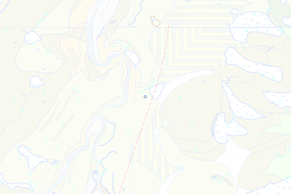
Schüpferegg-Nagelfluh
Feature info
| kind_desc | Bohrung |
|---|---|
| abor_depth_bedr | 43.0 |
| abor_fm_a_desc | Schüpferegg-Nagelfluh |
bohrung_fels_erreicht_15200262
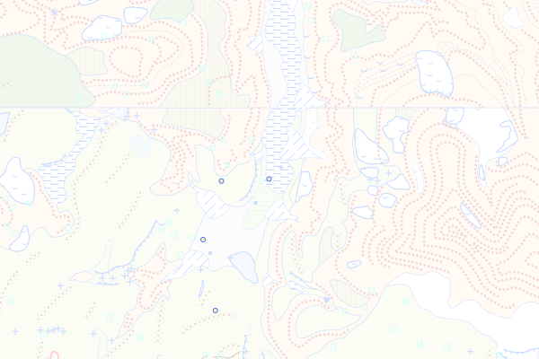
OSM-II
Feature info
| kind_desc | Bohrung |
|---|---|
| abor_depth_bedr | 17.0 |
| abor_fm_a_desc | OSM-II |
bohrung_fels_erreicht_15200270
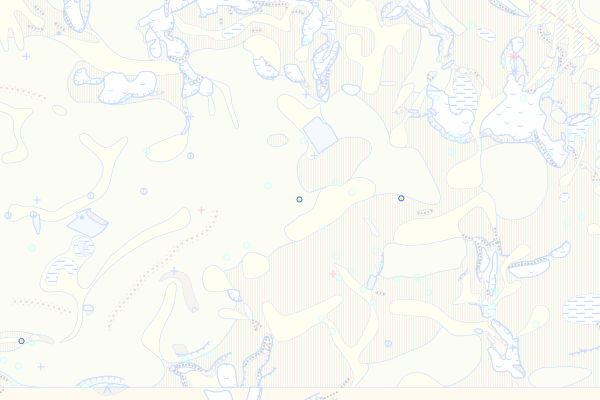
Tösswald-Schichten
Feature info
| kind_desc | Bohrung |
|---|---|
| abor_depth_bedr | 888.0 |
| abor_fm_a_desc | Hörnli-Fm.: Tösswald-Mb. |
bohrung_fels_erreicht_15200273
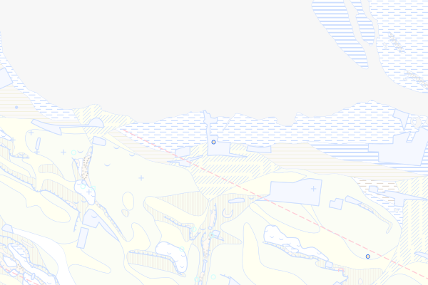
Krinau-Schichten
Feature info
| kind_desc | Bohrung |
|---|---|
| abor_depth_bedr | 888.0 |
| abor_fm_a_desc | Hörnli-Fm.: Krinau-Mb. |
bohrung_fels_erreicht_15200274
Glimmersandstein-Formation
Feature info
| kind_desc | Bohrung |
|---|---|
| abor_depth_bedr | 0.0 |
| abor_fm_a_desc | OSM-II: Glimmersand-Fazies |
| abor_fm_b_desc | unbekannt |
| abor_main_tar_desc | unbekannt |
| abor_targ_mat_desc | unbekannt |
bohrung_fels_erreicht_15200282
Leimbach-Bentonit
Feature info
| kind_desc | Bohrung |
|---|---|
| abor_depth_bedr | 888.0 |
| abor_fm_a_desc | Zürich-Fm.: Leimbach-Bentonit |
bohrung_fels_erreicht_15200288
Küsnacht-Bentonit
Feature info
| kind_desc | Bohrung |
|---|---|
| abor_depth_bedr | 888.0 |
| abor_fm_a_desc | Meilen-Fm.: Küsnacht-Bentonit |
bohrung_fels_erreicht_15200289
Urdorf-Bentonit
Feature info
| kind_desc | Bohrung |
|---|---|
| abor_depth_bedr | 888.0 |
| abor_fm_a_desc | Meilen-Fm.: Urdorf-Bentonit |
bohrung_fels_erreicht_15200290
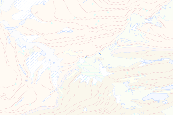
Appenzellergranit-Leitniveau
Feature info
| kind_desc | Bohrung |
|---|---|
| abor_depth_bedr | 4.0 |
| abor_fm_a_desc | Appenzellergranit-Leitniveau |
| abor_depth_tot | 160.0 |
bohrung_fels_erreicht_15200296
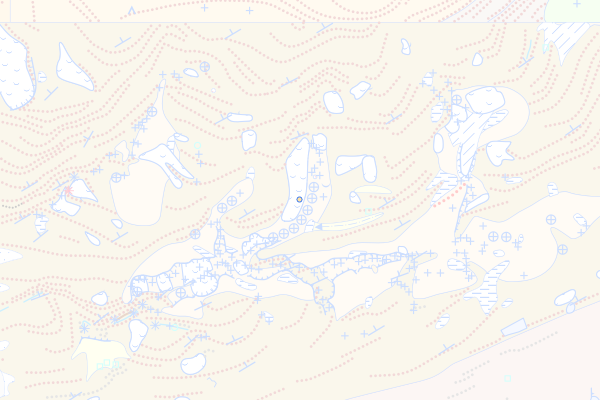
Lichtensteig-Schichten
Feature info
| kind_desc | Bohrung |
|---|---|
| abor_depth_bedr | 10.0 |
| abor_fm_a_desc | Lichtensteig-Fm. |
bohrung_fels_erreicht_15200300
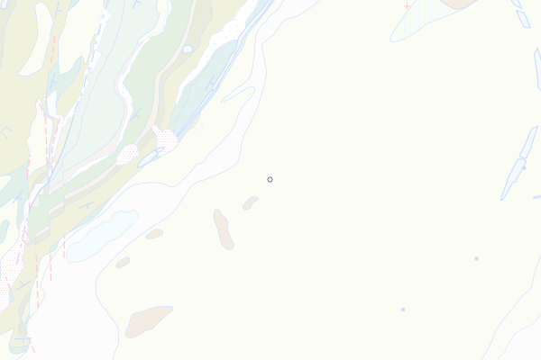
OSM-J
Feature info
| kind_desc | Bohrung |
|---|---|
| abor_depth_bedr | 2.0 |
| abor_fm_a_desc | OSM-J |
| abor_fm_b_desc | unbekannt |
| abor_main_tar_desc | unbekannt |
| abor_targ_mat_desc | unbekannt |
bohrung_fels_erreicht_15200306
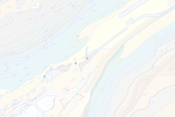
Crêt-du-Locle-Formation, Gompholitfazies
Feature info
| kind_desc | Bohrung |
|---|---|
| abor_depth_bedr | 888.0 |
| abor_fm_a_desc | Twannbach-Fm. |
| abor_depth_tot | 12.0 |
bohrung_fels_erreicht_15200307
Obere Meeresmolasse (OMM)
Feature info
| kind_desc | Bohrung |
|---|---|
| abor_depth_bedr | 12.0 |
| abor_fm_a_desc | OMM (Obere Meeresmolasse) |
| abor_fm_b_desc | unbekannt |
| abor_main_tar_desc | unbekannt |
| abor_targ_mat_desc | unbekannt |
bohrung_fels_erreicht_15200308
OMM-II
Feature info
| kind_desc | Bohrung |
|---|---|
| abor_depth_bedr | 60.0 |
| abor_fm_a_desc | OMM-II |
| abor_fm_b_desc | Elsässer Molasse |
bohrung_fels_erreicht_15200309
St-Gallen-Formation
Feature info
| kind_desc | Bohrung |
|---|---|
| abor_depth_bedr | 888.0 |
| abor_fm_a_desc | St.-Gallen-Fm. |
bohrung_fels_erreicht_15200311
OMM-I
Feature info
| kind_desc | Bohrung |
|---|---|
| abor_depth_bedr | 1.0 |
| abor_fm_a_desc | OMM-I |
| abor_fm_b_desc | unbekannt |
| abor_main_tar_desc | unbekannt |
| abor_targ_mat_desc | unbekannt |
| abor_depth_tot | 999997.0 |
bohrung_fels_erreicht_15200312
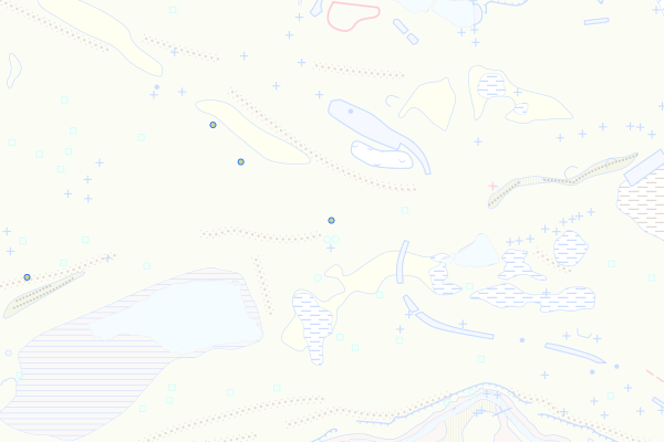
Luzern-Formation
Feature info
| kind_desc | Bohrung |
|---|---|
| abor_depth_bedr | 15.0 |
| abor_fm_a_desc | Luzern-Fm. |
bohrung_fels_erreicht_15200314
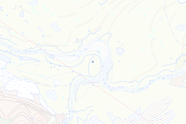
Untere Süsswassermolasse (USM)
Feature info
| kind_desc | Bohrung |
|---|---|
| abor_depth_bedr | 268.0 |
| abor_fm_a_desc | USM (Untere Süsswassermolasse) |
bohrung_fels_erreicht_15200317
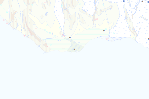
Cornalle-Sandstein
Feature info
| kind_desc | Bohrung |
|---|---|
| abor_depth_bedr | 888.0 |
| abor_fm_a_desc | Cornalle-Sandstein |
| abor_depth_tot | 52.0 |
bohrung_fels_erreicht_15200318
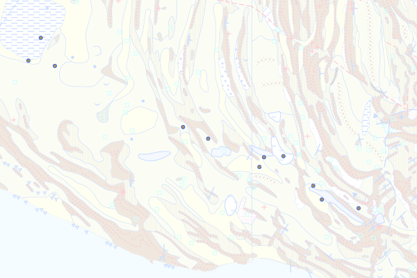
Mont-Pèlerin-Nagelfluh
Feature info
| kind_desc | Bohrung |
|---|---|
| abor_depth_bedr | 888.0 |
| abor_fm_a_desc | Mont-Pèlerin-Nagelfluh |
| abor_depth_tot | 11.0 |
bohrung_fels_erreicht_15200319
Speer-Formation
Feature info
| kind_desc | Bohrung |
|---|---|
| abor_depth_bedr | 888.0 |
| abor_fm_a_desc | Speer-Fm. |
bohrung_fels_erreicht_15200320
Thun-Formation
Feature info
| kind_desc | Bohrung |
|---|---|
| abor_depth_bedr | 6.0 |
| abor_fm_a_desc | Thun-Fm. |
bohrung_fels_erreicht_15200321
Gunten-Quarzitnagelfluh
Feature info
| kind_desc | Bohrung |
|---|---|
| abor_depth_bedr | 888.0 |
| abor_fm_a_desc | Thun-Fm.: Gunten-Quarzitnagelfluh |
bohrung_fels_erreicht_15200322
Rigi-Formation
Feature info
| kind_desc | Bohrung |
|---|---|
| abor_depth_bedr | 46.0 |
| abor_fm_a_desc | Rigi-Fm. |
| abor_depth_tot | 142.0 |
bohrung_fels_erreicht_15200325
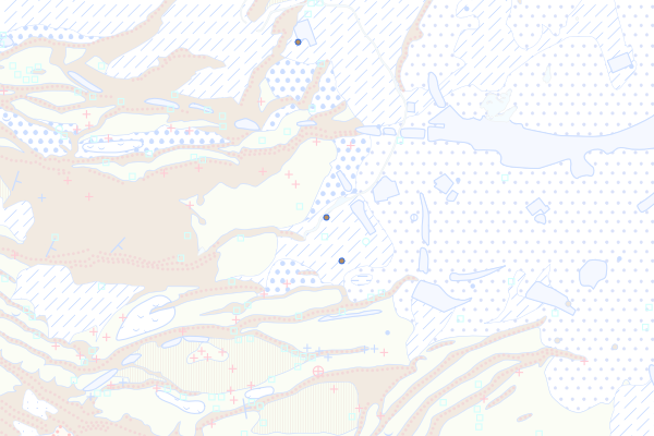
Radiolaritreiche Nagelfluh
Feature info
| kind_desc | Bohrung |
|---|---|
| abor_depth_bedr | 10.0 |
| abor_fm_a_desc | Rigi-Fm.: Radiolaritreiche Nagelfluh |
| abor_depth_tot | 31.0 |
bohrung_fels_erreicht_15200329
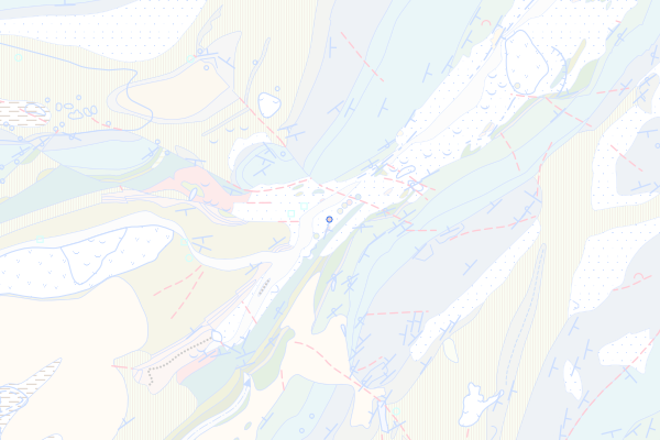
USM-II
Feature info
| kind_desc | Bohrung |
|---|---|
| abor_depth_bedr | 888.0 |
| abor_fm_a_desc | USM-II |
| abor_fm_b_desc | unbekannt |
| abor_main_tar_desc | unbekannt |
| abor_targ_mat_desc | unbekannt |
| abor_depth_tot | 20.0 |
bohrung_fels_erreicht_15200330
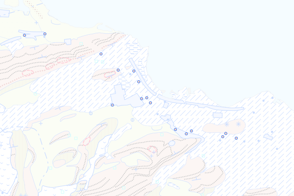
Formation der Granitischen Molasse
Feature info
| kind_desc | Bohrung |
|---|---|
| abor_depth_bedr | 1.0 |
| abor_fm_a_desc | Fm. der Granitischen Molasse |
bohrung_fels_erreicht_15200331
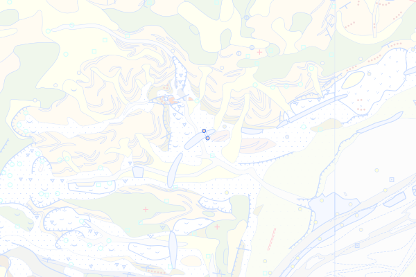
Oberaquitane Mergelzone
Feature info
| kind_desc | Bohrung |
|---|---|
| abor_depth_bedr | 888.0 |
| abor_fm_a_desc | Fm. der Granitischen Molasse: Oberaquitane Mergelzone |
| abor_fm_b_desc | unbekannt |
| abor_main_tar_desc | unbekannt |
| abor_targ_mat_desc | unbekannt |
bohrung_fels_erreicht_15200332
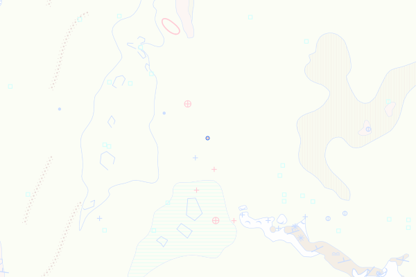
Molasse Grise de Lausanne
Feature info
| kind_desc | Bohrung |
|---|---|
| abor_depth_bedr | 18.0 |
| abor_fm_a_desc | Lausanne-Fm. |
| abor_fm_b_desc | unbekannt |
| abor_main_tar_desc | unbekannt |
| abor_targ_mat_desc | unbekannt |
bohrung_fels_erreicht_15200334
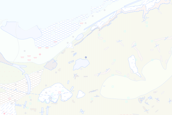
Cuarny-Sandstein
Feature info
| kind_desc | Bohrung |
|---|---|
| abor_depth_bedr | 1.0 |
| abor_fm_a_desc | Lausanne-Fm.: Cuarny-Sandstein |
| abor_fm_b_desc | Rocher-des-Hirondelles-Fm.: Vallorbe-Mb. |
| abor_main_tar_desc | unbekannt |
| abor_targ_mat_desc | Thermalwasser |
| abor_depth_tot | 571.0 |
bohrung_fels_erreicht_15200335
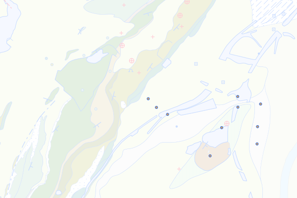
USM-I
Feature info
| kind_desc | Bohrung |
|---|---|
| abor_depth_bedr | 888.0 |
| abor_fm_a_desc | USM-I |
| abor_fm_b_desc | unbekannt |
| abor_main_tar_desc | unbekannt |
| abor_targ_mat_desc | unbekannt |
| abor_depth_tot | 35.0 |
bohrung_fels_erreicht_15200336
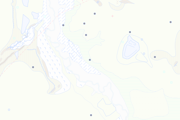
Grès et Marnes Gris à Gypse
Feature info
| kind_desc | Bohrung |
|---|---|
| abor_depth_bedr | 45.0 |
| abor_fm_a_desc | Grès et Marnes Gris à Gypse |
| abor_fm_b_desc | unbekannt |
| abor_main_tar_desc | unbekannt |
| abor_targ_mat_desc | unbekannt |