bohrung_fels_erreicht_15200337
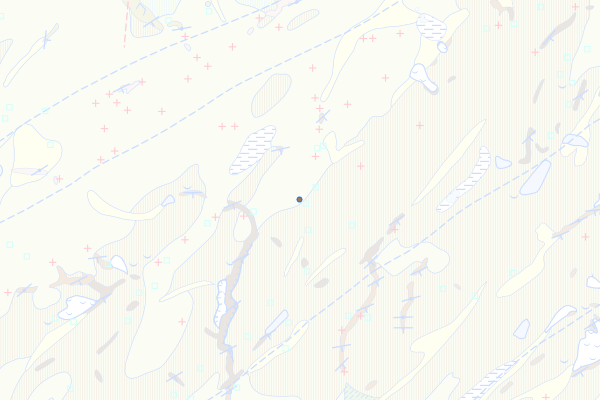
Molasse à Charbon
Feature info
| kind_desc | Bohrung |
|---|---|
| abor_depth_bedr | 888.0 |
| abor_fm_a_desc | Molasse à Charbon |
| abor_depth_tot | 3.0 |
bohrung_fels_erreicht_15200338
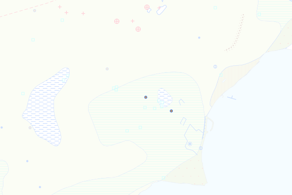
Molasse Rouge
Feature info
| kind_desc | Bohrung |
|---|---|
| abor_depth_bedr | 15.0 |
| abor_fm_a_desc | Molasse Rouge |
| abor_fm_b_desc | unbekannt |
| abor_main_tar_desc | unbekannt |
| abor_targ_mat_desc | unbekannt |
bohrung_fels_erreicht_15200339
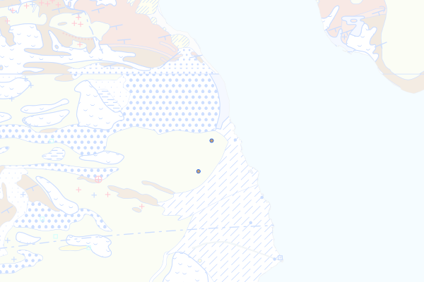
Heuboden-Äschitannen-Nagelfluh
Feature info
| kind_desc | Bohrung |
|---|---|
| abor_depth_bedr | 51.0 |
| abor_fm_a_desc | Heuboden-Äschitannen-Nagelfluh |
| abor_depth_tot | 65.0 |
bohrung_fels_erreicht_15200340
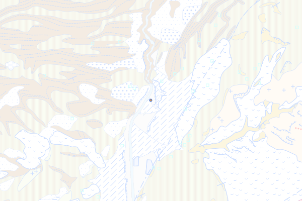
Beichlen-Formation
Feature info
| kind_desc | Bohrung |
|---|---|
| abor_depth_bedr | 10.0 |
| abor_fm_a_desc | Beichlen-Fm. |
bohrung_fels_erreicht_15200341
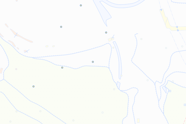
USM-J
Feature info
| kind_desc | Bohrung |
|---|---|
| abor_depth_bedr | 888.0 |
| abor_fm_a_desc | USM-J |
| abor_fm_b_desc | unbekannt |
| abor_main_tar_desc | unbekannt |
| abor_targ_mat_desc | unbekannt |
bohrung_fels_erreicht_15200343
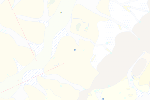
Elsässer Molasse s.s.
Feature info
| kind_desc | Bohrung |
|---|---|
| abor_depth_bedr | 888.0 |
| abor_fm_a_desc | Elsässer Molasse |
| abor_fm_b_desc | unbekannt |
| abor_main_tar_desc | unbekannt |
| abor_targ_mat_desc | unbekannt |
bohrung_fels_erreicht_15200344
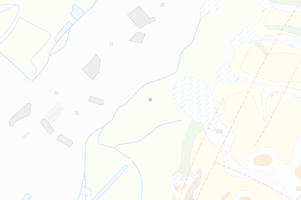
Delémont-Süsswasserkalk
Feature info
| kind_desc | Bohrung |
|---|---|
| abor_depth_bedr | 888.0 |
| abor_fm_a_desc | Elsässer Molasse: Delémont-Süsswasserkalk |
| abor_fm_b_desc | unbekannt |
| abor_main_tar_desc | unbekannt |
| abor_targ_mat_desc | unbekannt |
bohrung_fels_erreicht_15200350
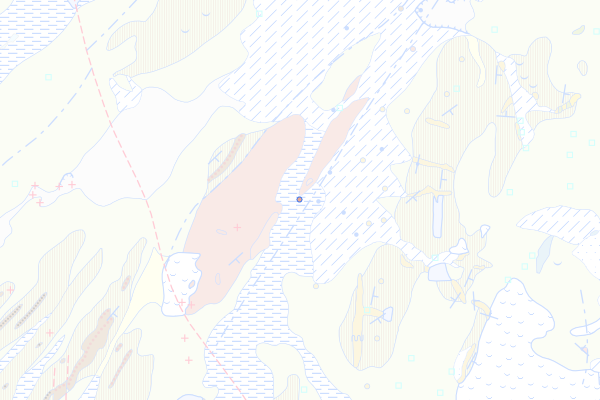
Horw-Sandstein
Feature info
| kind_desc | Bohrung |
|---|---|
| abor_depth_bedr | 2.0 |
| abor_fm_a_desc | Horw-Sandstein |
bohrung_fels_erreicht_15200352
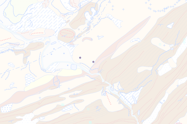
Grisigen-Mergel
Feature info
| kind_desc | Bohrung |
|---|---|
| abor_depth_bedr | 8.0 |
| abor_fm_a_desc | Grisigen-Mergel |
bohrung_fels_erreicht_15200354
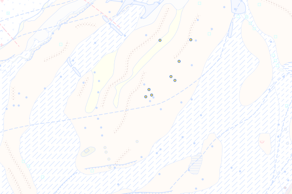
Cucloz-Subformation
Feature info
| kind_desc | Bohrung |
|---|---|
| abor_depth_bedr | 888.0 |
| abor_fm_a_desc | Cucloz-Fm. |
bohrung_fels_erreicht_15200356
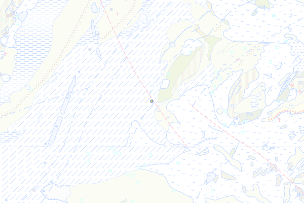
Marnes gris-souris
Feature info
| kind_desc | Bohrung |
|---|---|
| abor_depth_bedr | 31.0 |
| abor_fm_a_desc | Cucloz-Fm.: Marnes gris-souris |
bohrung_fels_erreicht_15200358
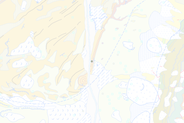
Hilfern-Formation
Feature info
| kind_desc | Bohrung |
|---|---|
| abor_depth_bedr | 5.0 |
| abor_fm_a_desc | Hilfern-Fm. |
bohrung_fels_erreicht_15200360
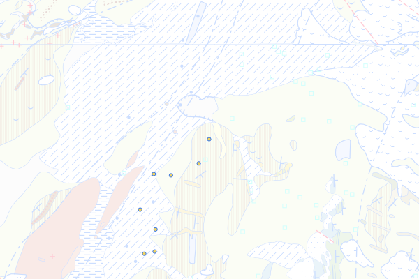
Jordisboden-Mergel
Feature info
| kind_desc | Bohrung |
|---|---|
| abor_depth_bedr | 1.0 |
| abor_fm_a_desc | Jordisboden-Mergel |
bohrung_fels_erreicht_15200363
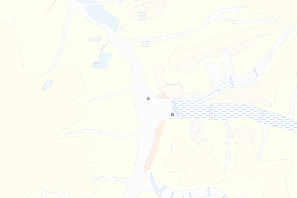
Septarienton
Feature info
| kind_desc | Bohrung |
|---|---|
| abor_depth_bedr | 7.0 |
| abor_fm_a_desc | UMM-J: Septarienton |
| abor_fm_b_desc | unbekannt |
| abor_main_tar_desc | unbekannt |
| abor_targ_mat_desc | unbekannt |
bohrung_fels_erreicht_15200370
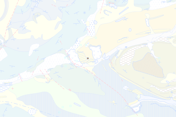
Porrentruy-Konglomerat
Feature info
| kind_desc | Bohrung |
|---|---|
| abor_depth_bedr | 888.0 |
| abor_fm_a_desc | Porrentruy-Konglomerat |
| abor_fm_b_desc | Twannbach-Fm.: Oberer Virgula-Mergel |
bohrung_fels_erreicht_15200382
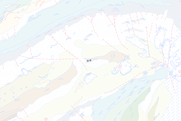
Unterer Teil des Hauptrogensteins
Feature info
| kind_desc | Bohrung |
|---|---|
| abor_depth_bedr | 888.0 |
| abor_fm_a_desc | Hauptrogenstein: Unterer Teil |
| abor_depth_tot | 40.0 |
bohrung_fels_erreicht_15200389
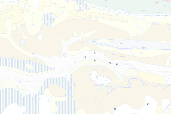
Geröllsande
Feature info
| kind_desc | Bohrung |
|---|---|
| abor_depth_bedr | 6.0 |
| abor_fm_a_desc | OMM-II: Geröllsande |
| abor_fm_b_desc | unbekannt |
| abor_main_tar_desc | unbekannt |
| abor_targ_mat_desc | unbekannt |
bohrung_fels_erreicht_15200391
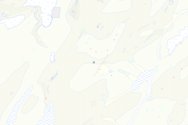
Muschelsandstein
Feature info
| kind_desc | Bohrung |
|---|---|
| abor_depth_bedr | 2.0 |
| abor_fm_a_desc | OMM-I: Muschelsandstein |
| abor_fm_b_desc | unbekannt |
| abor_main_tar_desc | unbekannt |
| abor_targ_mat_desc | unbekannt |
| abor_depth_tot | 999997.0 |
bohrung_fels_erreicht_15200394
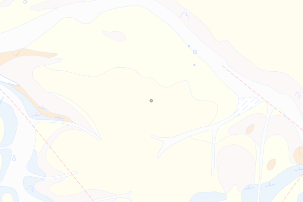
Basisbildungen der USM-J
Feature info
| kind_desc | Bohrung |
|---|---|
| abor_depth_bedr | 6.0 |
| abor_fm_a_desc | USM: Basale Süsswassermolasse |
| abor_fm_b_desc | unbekannt |
| abor_main_tar_desc | unbekannt |
| abor_targ_mat_desc | unbekannt |
bohrung_fels_erreicht_15200396
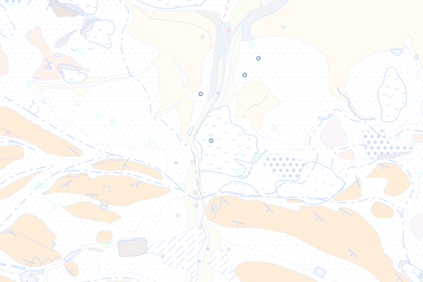
Basler Juranagelfluh
Feature info
| kind_desc | Bohrung |
|---|---|
| abor_depth_bedr | 888.0 |
| abor_fm_a_desc | Basler Juranagelfluh |
bohrung_fels_erreicht_15200399
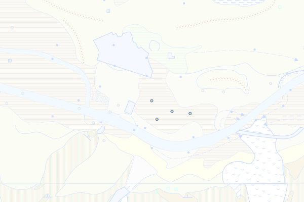
Jensberg-Schichten
Feature info
| kind_desc | Bohrung |
|---|---|
| abor_depth_bedr | 21.0 |
| abor_fm_a_desc | Jensberg-Fm. |
| abor_fm_b_desc | unbekannt |
| abor_main_tar_desc | unbekannt |
| abor_targ_mat_desc | unbekannt |
bohrung_fels_erreicht_15200400
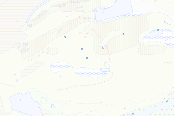
Rebhubel-Schichten
Feature info
| kind_desc | Bohrung |
|---|---|
| abor_depth_bedr | 8.0 |
| abor_fm_a_desc | Jensberg-Fm.: Rebhubel-Sch. |
| abor_fm_b_desc | Jensberg-Fm. |
| abor_main_tar_desc | unbekannt |
| abor_targ_mat_desc | unbekannt |
bohrung_fels_erreicht_15200402
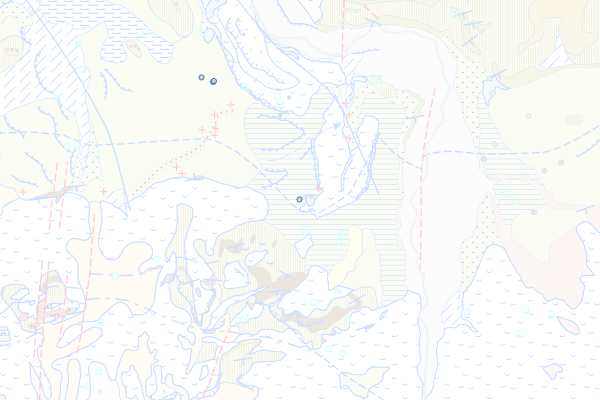
Belpberg-Formation
Feature info
| kind_desc | Bohrung |
|---|---|
| abor_depth_bedr | 6.0 |
| abor_fm_a_desc | Belpberg-Fm. |
| abor_depth_tot | 135.0 |
bohrung_fels_erreicht_15200415
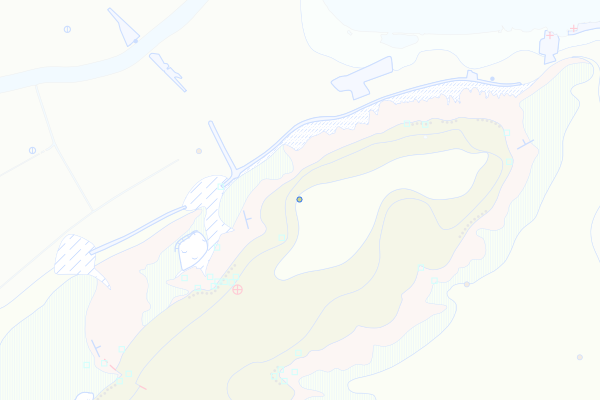
Chnebelburg-Schichten
Feature info
| kind_desc | Bohrung |
|---|---|
| abor_depth_bedr | 888.0 |
| abor_fm_a_desc | Chnebelburg-Fm. |
| abor_fm_b_desc | unbekannt |
| abor_main_tar_desc | unbekannt |
| abor_targ_mat_desc | unbekannt |
| abor_depth_tot | 60.0 |
bohrung_fels_erreicht_15200417
Brüttelen-Muschelnagelfluh
Feature info
| kind_desc | Bohrung |
|---|---|
| abor_depth_bedr | 888.0 |
| abor_fm_a_desc | Chnebelburg-Fm.: Brüttelen-Grobsandstein |
| abor_fm_b_desc | unbekannt |
| abor_main_tar_desc | unbekannt |
| abor_targ_mat_desc | unbekannt |
| abor_depth_tot | 40.0 |
bohrung_fels_erreicht_15200418
Sense-Formation
Feature info
| kind_desc | Bohrung |
|---|---|
| abor_depth_bedr | 36.0 |
| abor_fm_a_desc | Sense-Fm. |
| abor_depth_tot | 999997.0 |
bohrung_fels_erreicht_15200425
Gümmenen-Formation
Feature info
| kind_desc | Bohrung |
|---|---|
| abor_depth_bedr | 13.0 |
| abor_fm_a_desc | Gümmenen-Fm. |
| abor_depth_tot | 999997.0 |
bohrung_fels_erreicht_15200429
Obere bunte Molasse
Feature info
| kind_desc | Bohrung |
|---|---|
| abor_depth_bedr | 9.0 |
| abor_fm_a_desc | USM-II: Obere Bunte Molasse |
bohrung_fels_erreicht_15200472
Obere-Felsenkalke-Formation
Feature info
| kind_desc | Bohrung |
|---|---|
| abor_depth_bedr | 888.0 |
| abor_fm_a_desc | Obere-Felsenkalke-Fm. |
| abor_main_tar_desc | Hydrogeologie |
bohrung_fels_erreicht_15200485
Dentalienton-Formation
Feature info
| kind_desc | Bohrung |
|---|---|
| abor_depth_bedr | 888.0 |
| abor_fm_a_desc | Dentalienton-Fm. |
bohrung_fels_erreicht_15200486
Hamitenton-Formation
Feature info
| kind_desc | Bohrung |
|---|---|
| abor_depth_bedr | 888.0 |
| abor_fm_a_desc | Hamitenton-Fm. |
bohrung_fels_erreicht_15200496
Gabelspitz-Schichten
Feature info
| kind_desc | Bohrung |
|---|---|
| abor_depth_bedr | 888.0 |
| abor_fm_a_desc | Schüpferegg-Nagelfluh: Gabelspitz-Sch. |
bohrung_fels_erreicht_15200497
Schallenberg-Member
Feature info
| kind_desc | Bohrung |
|---|---|
| abor_depth_bedr | 888.0 |
| abor_fm_a_desc | Schüpferegg-Nagelfluh: Schallenberg-Mergel |
bohrung_fels_erreicht_15200498
Seli-Nagelfluh
Feature info
| kind_desc | Bohrung |
|---|---|
| abor_depth_bedr | 888.0 |
| abor_fm_a_desc | Schüpferegg-Nagelfluh: Seli-Nagelfluh |
bohrung_fels_erreicht_15200503
Öhningen-Formation
Feature info
| kind_desc | Bohrung |
|---|---|
| abor_depth_bedr | 888.0 |
| abor_fm_a_desc | Öhningen-Fm. |
bohrung_fels_erreicht_15200510
«Juranagelfluh-Mergel»
Feature info
| kind_desc | Bohrung |
|---|---|
| abor_depth_bedr | 888.0 |
| abor_fm_a_desc | OSM-J: Juranagelfluh: Mergel-dominierte Fazies |
bohrung_fels_erreicht_15200514
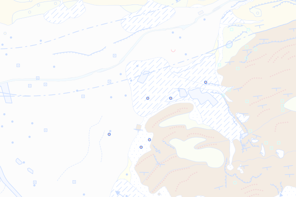
Homberg-Formation
Feature info
| kind_desc | Bohrung |
|---|---|
| abor_depth_bedr | 14.0 |
| abor_fm_a_desc | Homberg-Fm. |
bohrung_fels_erreicht_15200529
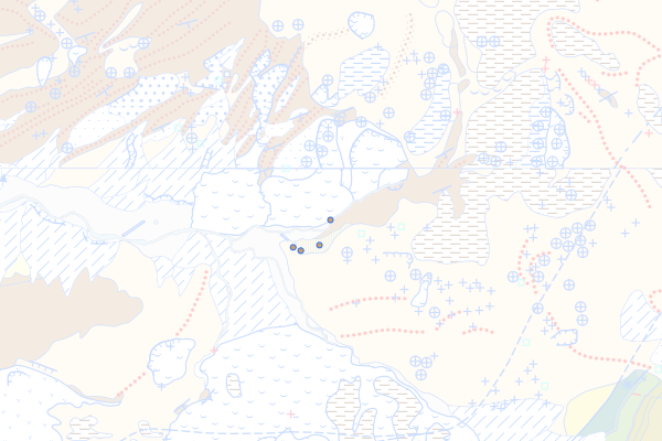
Honegg-Mergel
Feature info
| kind_desc | Bohrung |
|---|---|
| abor_depth_bedr | 888.0 |
| abor_fm_a_desc | Honegg-Mergel |
bohrung_fels_erreicht_15200531
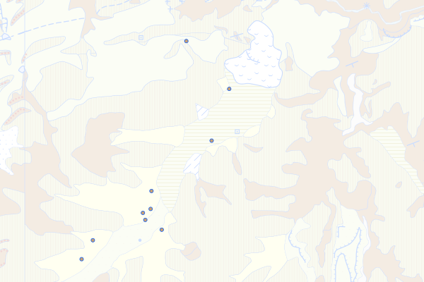
Hünibach-Nagelfluh
Feature info
| kind_desc | Bohrung |
|---|---|
| abor_depth_bedr | 888.0 |
| abor_fm_a_desc | Thun-Fm.: Hünibach-Nagelfluh |
bohrung_fels_erreicht_15200532
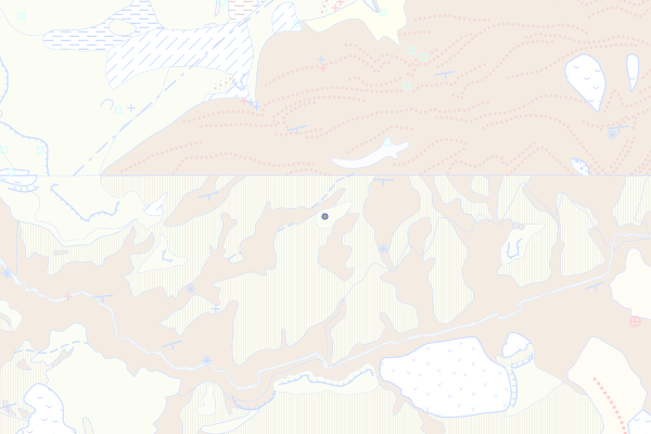
Losenegg-Formation
Feature info
| kind_desc | Bohrung |
|---|---|
| abor_depth_bedr | 888.0 |
| abor_fm_a_desc | Losenegg-Fm. |
bohrung_fels_erreicht_15200537
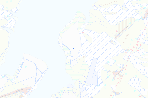
Gérignoz-Formation
Feature info
| kind_desc | Bohrung |
|---|---|
| abor_depth_bedr | 888.0 |
| abor_fm_a_desc | Gérignoz-Fm. |
bohrung_fels_erreicht_15200543
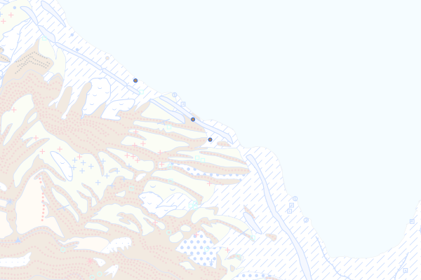
Weggis-Formation
Feature info
| kind_desc | Bohrung |
|---|---|
| abor_depth_bedr | 33.0 |
| abor_fm_a_desc | Weggis-Fm. |
bohrung_fels_erreicht_15200548
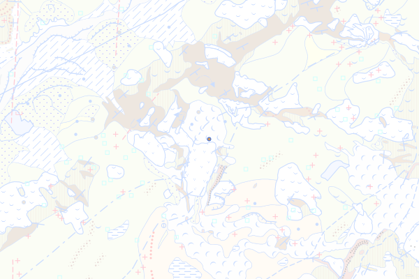
Molasse Rouge von Vevey
Feature info
| kind_desc | Bohrung |
|---|---|
| abor_depth_bedr | 27.0 |
| abor_fm_a_desc | Molasse Rouge de Vevey |
| abor_depth_tot | 999997.0 |
bohrung_fels_erreicht_15200550
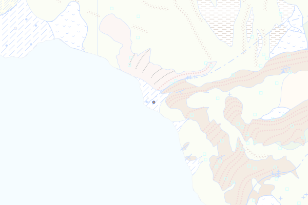
Grindelegg-Formation
Feature info
| kind_desc | Bohrung |
|---|---|
| abor_depth_bedr | 24.0 |
| abor_fm_a_desc | Grindelegg-Fm. |
| abor_depth_tot | 26.0 |
bohrung_fels_erreicht_15200554
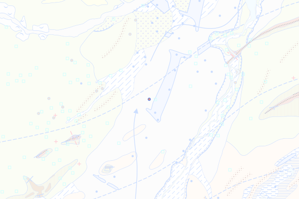
Vaulruz-Formation (UMM-II+III undiff.)
Feature info
| kind_desc | Bohrung |
|---|---|
| abor_depth_bedr | 888.0 |
| abor_fm_a_desc | Vaulruz-Fm. |
bohrung_fels_erreicht_15200558
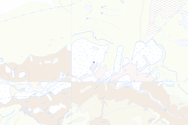
Marbach-Member
Feature info
| kind_desc | Bohrung |
|---|---|
| abor_depth_bedr | 888.0 |
| abor_fm_a_desc | Fm. der Granitischen Molasse: Marbach-Mb. |
bohrung_fels_erreicht_15200560
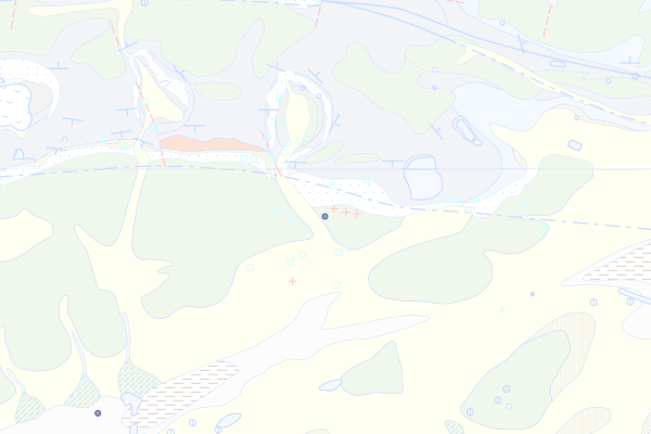
Untere Bunte Molasse des Jurasüdfusses
Feature info
| kind_desc | Bohrung |
|---|---|
| abor_depth_bedr | 4.0 |
| abor_fm_a_desc | USM-I: Untere Bunte Molasse |
| abor_depth_tot | 70.0 |
bohrung_fels_erreicht_15200568
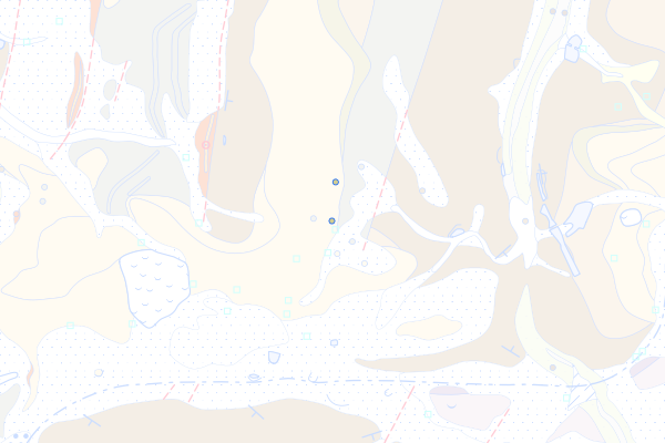
Tenniken-Muschelagglomerat
Feature info
| kind_desc | Bohrung |
|---|---|
| abor_depth_bedr | 888.0 |
| abor_fm_a_desc | Tenniken-Muschelagglomerat |
bohrung_fels_erreicht_15200589
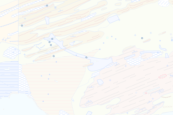
USM-III bis OSM-I
Feature info
| kind_desc | Bohrung |
|---|---|
| abor_depth_bedr | 26.0 |
| abor_fm_a_desc | USM-III bis OSM-I |
| abor_depth_tot | 27.3 |
bohrung_fels_erreicht_15200623
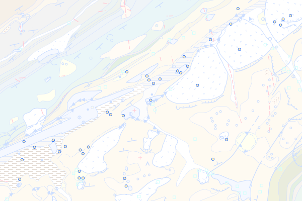
Le-Locle-Formation
Feature info
| kind_desc | Bohrung |
|---|---|
| abor_depth_bedr | 888.0 |
| abor_fm_a_desc | Le-Locle-Fm. |
| abor_depth_tot | 7.0 |
bohrung_fels_erreicht_15200627
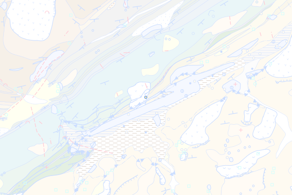
Crêt-du-Locle-Formation, Mergelfazies
Feature info
| kind_desc | Bohrung |
|---|---|
| abor_depth_bedr | 6.0 |
| abor_fm_a_desc | Crêt-du-Locle-Fm.: Mergelfazies |
bohrung_fels_erreicht_15200638
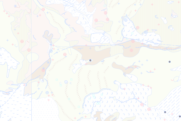
Öligraben-Formation
Feature info
| kind_desc | Bohrung |
|---|---|
| abor_depth_bedr | 7.0 |
| abor_fm_a_desc | Öligraben-Fm. |
bohrung_fels_erreicht_15200639
Studweid-Formation
Feature info
| kind_desc | Bohrung |
|---|---|
| abor_depth_bedr | 17.0 |
| abor_fm_a_desc | Studweid-Fm. |
| abor_depth_tot | 22.0 |
bohrung_fels_erreicht_15201001
Ältere Ablagerungen, undifferenziert
Feature info
| kind_desc | Bohrung |
|---|---|
| abor_depth_bedr | 36.0 |
| abor_fm_a_desc | Ältere Ablagerungen, undifferenziert |
| abor_fm_b_desc | Lausanne-Fm. |
| abor_depth_tot | 999997.0 |
bohrung_fels_erreicht_15201002
Niederterrasse
Feature info
| kind_desc | Bohrung |
|---|---|
| abor_depth_bedr | 7.0 |
| abor_fm_a_desc | Niederterrasse |
| abor_fm_b_desc | Sense-Fm. |
| abor_depth_tot | 999997.0 |
bohrung_fels_erreicht_15201003
Hochterrasse
Feature info
| kind_desc | Bohrung |
|---|---|
| abor_depth_bedr | 21.0 |
| abor_fm_a_desc | Hochterrasse |
| abor_fm_b_desc | Lausanne-Fm. |
| abor_main_tar_desc | unbekannt |
| abor_targ_mat_desc | unbekannt |
bohrung_fels_erreicht_15201004
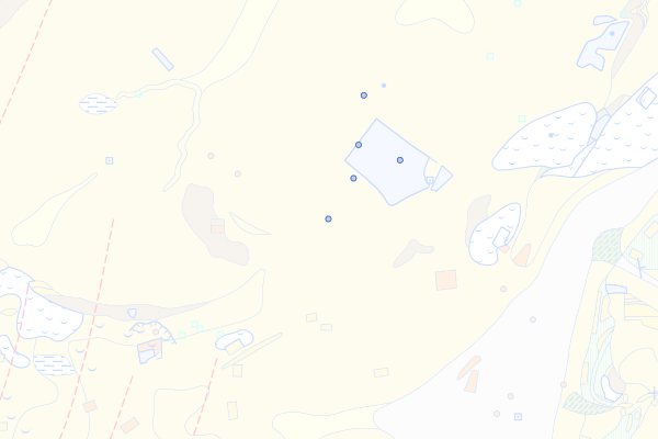
Tiefere Deckenschotter
Feature info
| kind_desc | Bohrung |
|---|---|
| abor_depth_bedr | 888.0 |
| abor_fm_a_desc | Tiefere Deckenschotter |
| abor_fm_b_desc | UMM-J: Septarienton |
| abor_main_tar_desc | unbekannt |
| abor_targ_mat_desc | unbekannt |
bohrung_fels_erreicht_15201005
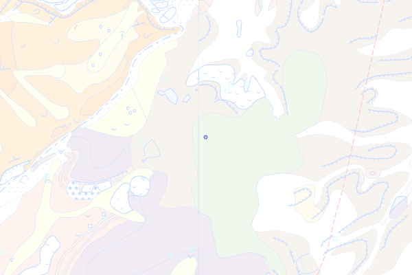
Höhere Deckenschotter
Feature info
| kind_desc | Bohrung |
|---|---|
| abor_depth_bedr | 888.0 |
| abor_fm_a_desc | Höhere Deckenschotter |
| abor_fm_b_desc | Juragebirge: Keuper |
bohrung_fels_erreicht_15201007
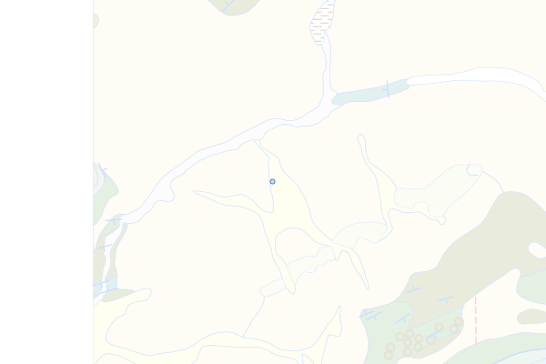
Last Glacial Maximum (LGM), undiff.
Feature info
| kind_desc | Bohrung |
|---|---|
| abor_depth_bedr | 180.0 |
| abor_fm_a_desc | Last Glacial Maximum (LGM), undiff. |
| abor_fm_b_desc | Rocher-des-Hirondelles-Fm.: Vallorbe-Mb. |
| abor_main_tar_desc | unbekannt |
| abor_targ_mat_desc | unbekannt |
| abor_depth_tot | 180.0 |
bohrung_fels_erreicht_15201008
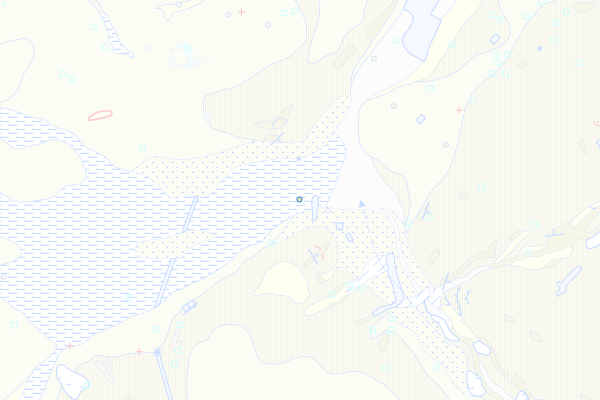
LGM-Rückzug
Feature info
| kind_desc | Bohrung |
|---|---|
| abor_depth_bedr | 18.0 |
| abor_fm_a_desc | LGM-Rückzug |
| abor_fm_b_desc | Lausanne-Fm. |
| abor_depth_tot | 999997.0 |
bohrung_fels_erreicht_15201050
Gondiswil-Interglazial (Letztes Integlazial)
Feature info
| kind_desc | Bohrung |
|---|---|
| abor_depth_bedr | 8.0 |
| abor_fm_a_desc | Grès et Marnes Gris à Gypse |
| abor_fm_b_desc | unbekannt |
| abor_main_tar_desc | unbekannt |
| abor_targ_mat_desc | unbekannt |
bohrung_fels_erreicht_15201075
Aathal-Schotter
Feature info
| kind_desc | Bohrung |
|---|---|
| abor_depth_bedr | 38.0 |
| abor_fm_a_desc | Aathal-Schotter |
| abor_fm_b_desc | OSM (Obere Süsswassermolasse) |
bohrung_fels_erreicht_15201083
Gränichen-Schotter
Feature info
| kind_desc | Bohrung |
|---|---|
| abor_depth_bedr | 14.0 |
| abor_fm_a_desc | Gränichen-Schotter |
| abor_fm_b_desc | Luzern-Fm. |
bohrung_fels_erreicht_15201131
Schlieren-Diessenhofen-Stetten-Stadien
Feature info
| kind_desc | Bohrung |
|---|---|
| abor_depth_bedr | 5.0 |
| abor_fm_a_desc | Schlieren-Diessenhofen-Stetten-Stadien |
| abor_fm_b_desc | OSM (Obere Süsswassermolasse) |
bohrung_fels_erreicht_15201139
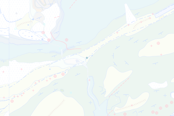
Seeablagerungen von Frinvillier und Rondchâtel
Feature info
| kind_desc | Bohrung |
|---|---|
| abor_depth_bedr | 16.0 |
| abor_fm_a_desc | Seeablagerungen von Frinvillier und Rondchâtel |
| abor_fm_b_desc | Elsässer Molasse |
| abor_main_tar_desc | unbekannt |
| abor_targ_mat_desc | unbekannt |
bohrung_fels_erreicht_15201146
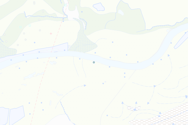
Flumenthal-Lehm
Feature info
| kind_desc | Bohrung |
|---|---|
| abor_depth_bedr | 96.0 |
| abor_fm_a_desc | Flumenthal-Lehm |
| abor_fm_b_desc | USM-J |
bohrung_fels_erreicht_15201157
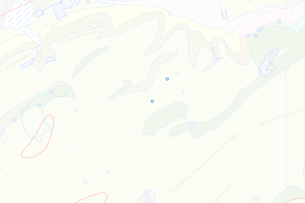
Plateauschotter
Feature info
| kind_desc | Bohrung |
|---|---|
| abor_depth_bedr | 21.0 |
| abor_fm_a_desc | Plateauschotter |
| abor_fm_b_desc | Gümmenen-Fm. |
| abor_main_tar_desc | unbekannt |
| abor_targ_mat_desc | unbekannt |
bohrung_fels_erreicht_15201160
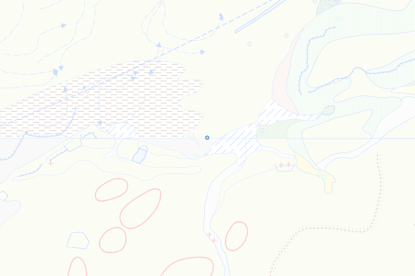
Attiswil-Schotter
Feature info
| kind_desc | Bohrung |
|---|---|
| abor_depth_bedr | 16.0 |
| abor_fm_a_desc | Attiswil-Schotter |
| abor_fm_b_desc | USM-II: Obere Bunte Molasse |
bohrung_fels_erreicht_15201165
Schwarzhäusern-Lehm
Feature info
| kind_desc | Bohrung |
|---|---|
| abor_depth_bedr | 25.0 |
| abor_fm_a_desc | Schwarzhäusern-Lehm |
| abor_fm_b_desc | USM-II: Obere Bunte Molasse |
bohrung_fels_erreicht_15201190
Karlsruhe-Schotter
Feature info
| kind_desc | Bohrung |
|---|---|
| abor_depth_bedr | 20.0 |
| abor_fm_a_desc | Karlsruhe-Schotter |
| abor_fm_b_desc | Gümmenen-Fm. |
bohrung_fels_erreicht_15201199
Wolhusen-Schotter
Feature info
| kind_desc | Bohrung |
|---|---|
| abor_depth_bedr | 22.0 |
| abor_fm_a_desc | Wolhusen-Schotter |
| abor_fm_b_desc | Napf-Fm. |
bohrung_fels_erreicht_15201207
Sihl-Schotter
Feature info
| kind_desc | Bohrung |
|---|---|
| abor_depth_bedr | 23.0 |
| abor_fm_a_desc | Sihl-Schotter |
| abor_fm_b_desc | OSM (Obere Süsswassermolasse) |
bohrung_fels_erreicht_15201215
Oftringen-Schotter
Feature info
| kind_desc | Bohrung |
|---|---|
| abor_depth_bedr | 15.0 |
| abor_fm_a_desc | Oftringen-Schotter |
| abor_fm_b_desc | USM-II: Obere Bunte Molasse |
bohrung_fels_erreicht_15201217
Forst-Schotter
Feature info
| kind_desc | Bohrung |
|---|---|
| abor_depth_bedr | 17.0 |
| abor_fm_a_desc | Forst-Schotter |
| abor_fm_b_desc | Gümmenen-Fm. |
bohrung_fels_erreicht_15201218
Raintal-Deltaschotter
Feature info
| kind_desc | Bohrung |
|---|---|
| abor_depth_bedr | 888.0 |
| abor_fm_a_desc | Raintal-Deltaschotter |
| abor_fm_b_desc | Sense-Fm. |
bohrung_fels_erreicht_15201244
Höchi-Schotter
Feature info
| kind_desc | Bohrung |
|---|---|
| abor_depth_bedr | 33.0 |
| abor_fm_a_desc | Höchi-Schotter |
| abor_fm_b_desc | Luzern-Fm. |
bohrung_fels_erreicht_15201249
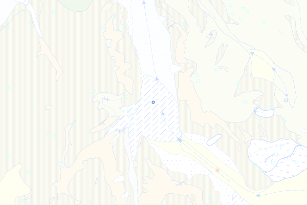
Quartär, undifferenziert
Feature info
| kind_desc | Bohrung |
|---|---|
| abor_depth_bedr | 51.0 |
| abor_fm_a_desc | Quartär, undifferenziert |
| abor_fm_b_desc | Napf-Fm. |
bohrung_fels_erreicht_15201250
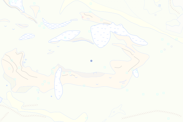
Deckenschotter, undifferenziert
Feature info
| kind_desc | Bohrung |
|---|---|
| abor_depth_bedr | 888.0 |
| abor_fm_a_desc | Deckenschotter, undifferenziert |
| abor_fm_b_desc | OSM (Obere Süsswassermolasse) |
bohrung_fels_erreicht_15201275
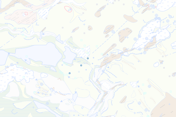
Gublen-Schotter
Feature info
| kind_desc | Bohrung |
|---|---|
| abor_depth_bedr | 888.0 |
| abor_fm_a_desc | Gublen-Schotter |
| abor_fm_b_desc | USM-I |
bohrung_fels_erreicht_15201283
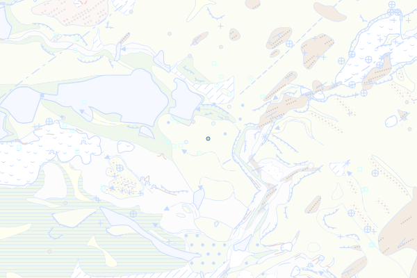
Uznach-Schieferkohle
Feature info
| kind_desc | Bohrung |
|---|---|
| abor_depth_bedr | 888.0 |
| abor_fm_a_desc | Uznach-Schieferkohle |
| abor_fm_b_desc | USM-I |
bohrung_fels_erreicht_15201476
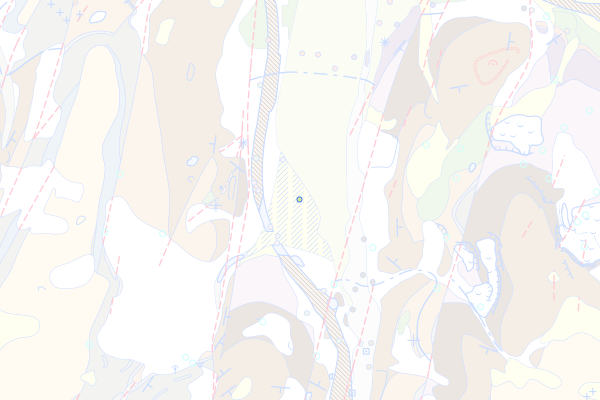
Ergolztal-Schotter
Feature info
| kind_desc | Bohrung |
|---|---|
| abor_depth_bedr | 16.0 |
| abor_fm_a_desc | Ergolztal-Schotter |
| abor_fm_b_desc | Opalinus-Ton |
bohrung_fels_erreicht_15202001
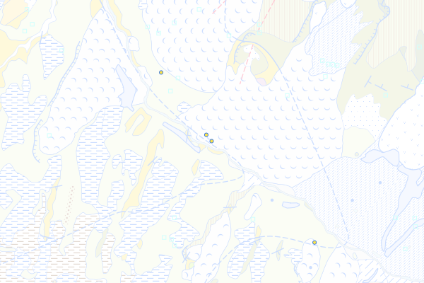
Habkern-Melange
Feature info
| kind_desc | Bohrung |
|---|---|
| abor_depth_bedr | 20.0 |
| abor_fm_a_desc | Habkern-Melange |
bohrung_fels_erreicht_15202003
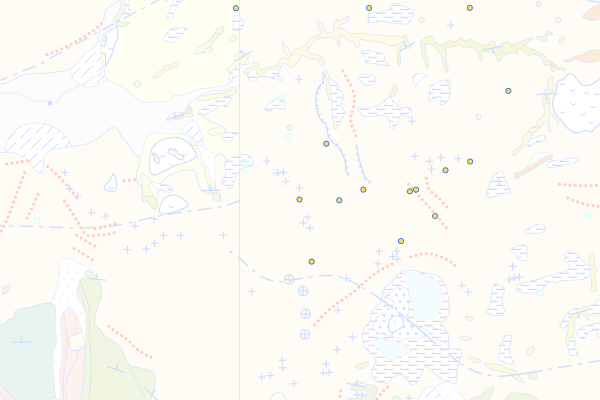
Wildhaus-Melange
Feature info
| kind_desc | Bohrung |
|---|---|
| abor_depth_bedr | 42.0 |
| abor_fm_a_desc | Wildhaus-Melange |
| abor_fm_b_desc | Amden-Fm. |
bohrung_fels_erreicht_15202004
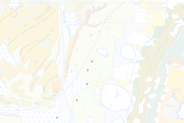
Südhelvetische Flyscheinheiten
Feature info
| kind_desc | Bohrung |
|---|---|
| abor_depth_bedr | 18.0 |
| abor_fm_a_desc | Südhelvetischer Flysch |
bohrung_fels_erreicht_15202005
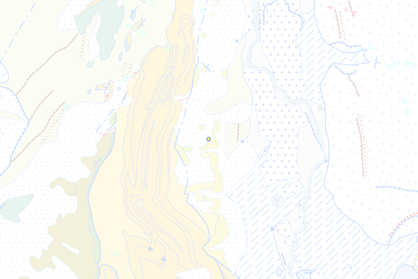
Nordhelvetische Flysch-Gruppe
Feature info
| kind_desc | Bohrung |
|---|---|
| abor_depth_bedr | 24.0 |
| abor_fm_a_desc | Nordhelvetische Flysch-Gr. |
| abor_fm_b_desc | Taveyannaz-Fm. |
bohrung_fels_erreicht_15202006
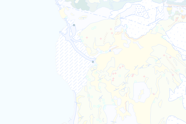
Matt-Formation
Feature info
| kind_desc | Bohrung |
|---|---|
| abor_depth_bedr | 74.0 |
| abor_fm_a_desc | Matt-Fm. |
bohrung_fels_erreicht_15202009
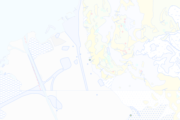
Elm-Formation
Feature info
| kind_desc | Bohrung |
|---|---|
| abor_depth_bedr | 8.0 |
| abor_fm_a_desc | Elm-Fm. |
bohrung_fels_erreicht_15202011
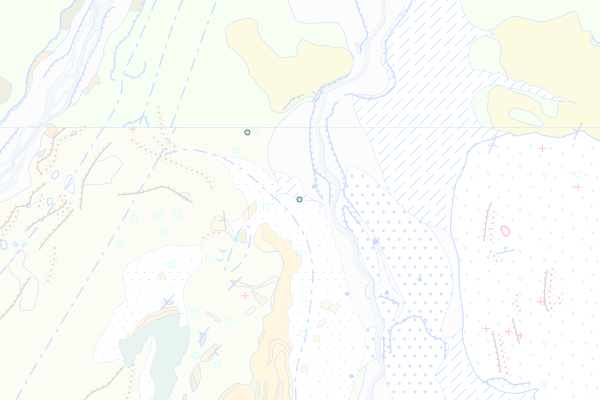
Taveyannaz-Formation
Feature info
| kind_desc | Bohrung |
|---|---|
| abor_depth_bedr | 13.0 |
| abor_fm_a_desc | Taveyannaz-Fm. |
bohrung_fels_erreicht_15202013
Stad-Formation
Feature info
| kind_desc | Bohrung |
|---|---|
| abor_depth_bedr | 36.0 |
| abor_fm_a_desc | Stad-Fm. |
bohrung_fels_erreicht_15202022
Hohgant-Sandstein
Feature info
| kind_desc | Bohrung |
|---|---|
| abor_depth_bedr | 16.0 |
| abor_fm_a_desc | Niederhorn-Fm.: Hohgant-Sandstein |
bohrung_fels_erreicht_15202032
Bürgen-Formation
Feature info
| kind_desc | Bohrung |
|---|---|
| abor_depth_bedr | 1.0 |
| abor_fm_a_desc | Bürgen-Fm. |
| abor_depth_tot | 16.0 |
bohrung_fels_erreicht_15202036
Euthal-Formation
Feature info
| kind_desc | Bohrung |
|---|---|
| abor_depth_bedr | 54.0 |
| abor_fm_a_desc | Euthal-Fm. |
bohrung_fels_erreicht_15202038
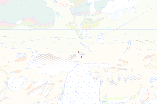
Einsiedeln-Member
Feature info
| kind_desc | Bohrung |
|---|---|
| abor_depth_bedr | 57.0 |
| abor_fm_a_desc | Euthal-Fm.: Einsiedeln-Mb. |
| abor_fm_b_desc | Wildhaus-Melange |
bohrung_fels_erreicht_15202047
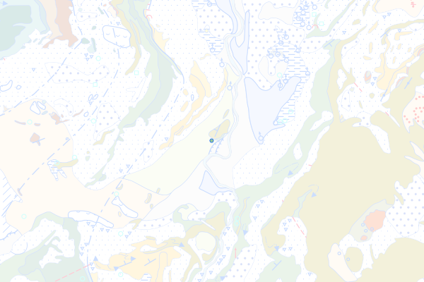
Kreide des Helvetikums
Feature info
| kind_desc | Bohrung |
|---|---|
| abor_depth_bedr | 11.0 |
| abor_fm_a_desc | Helvetikum: Kreide |
bohrung_fels_erreicht_15202048
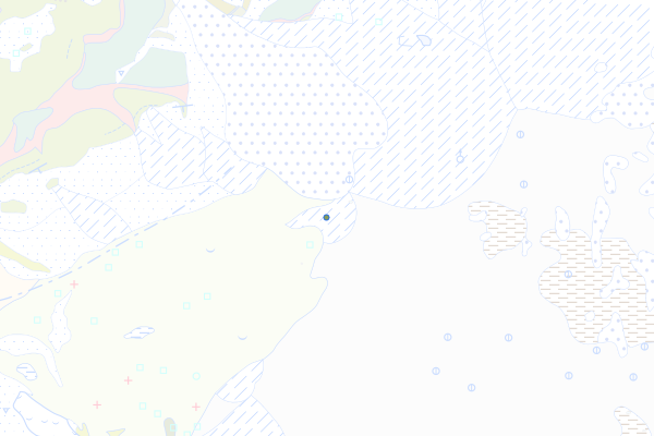
Wang-Formation
Feature info
| kind_desc | Bohrung |
|---|---|
| abor_depth_bedr | 13.0 |
| abor_fm_a_desc | Wang-Fm. |
bohrung_fels_erreicht_15202049
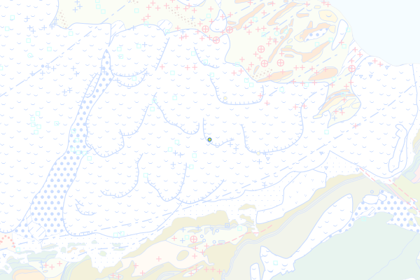
Amden-Mergel
Feature info
| kind_desc | Bohrung |
|---|---|
| abor_depth_bedr | 47.0 |
| abor_fm_a_desc | Amden-Fm. |
bohrung_fels_erreicht_15202050
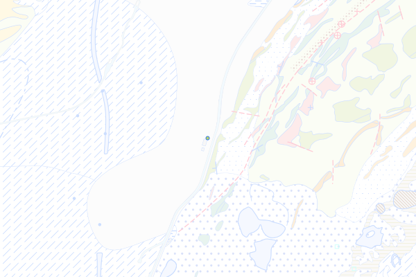
Seewen-Formation
Feature info
| kind_desc | Bohrung |
|---|---|
| abor_depth_bedr | 27.0 |
| abor_fm_a_desc | Seewen Fm. |
bohrung_fels_erreicht_15202051
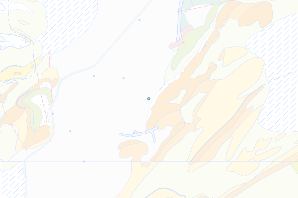
Choltal-Member
Feature info
| kind_desc | Bohrung |
|---|---|
| abor_depth_bedr | 5.0 |
| abor_fm_a_desc | Seewen-Fm.: Choltal-Mb. |
bohrung_fels_erreicht_15202052
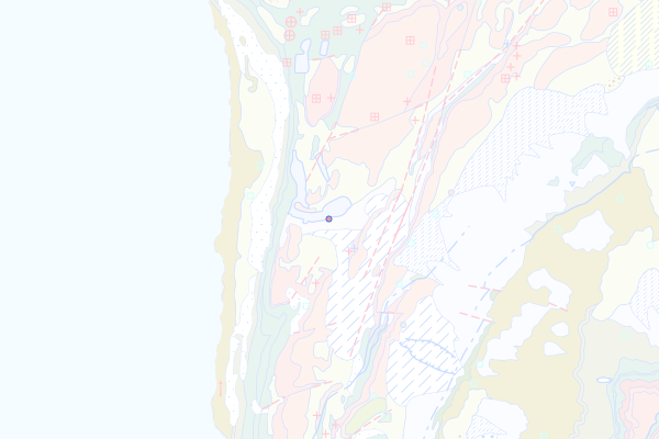
Garschella-Formation
Feature info
| kind_desc | Bohrung |
|---|---|
| abor_depth_bedr | 12.0 |
| abor_fm_a_desc | Garschella-Fm. |
bohrung_fels_erreicht_15202053
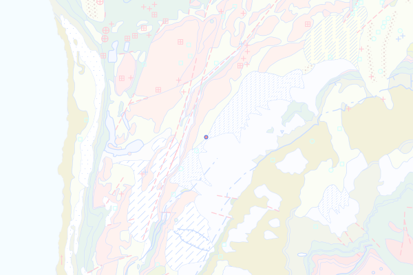
Selun-Member
Feature info
| kind_desc | Bohrung |
|---|---|
| abor_depth_bedr | 2.0 |
| abor_fm_a_desc | Garschella-Fm.: Selun-Mb. |
| abor_fm_b_desc | Schrattenkalk-Fm.: Oberer Teil |